Useful information and History of Pakistan
Information about Pakistan
We Are Happy To Provide basic details of travel places, useful basic travel information and History of Pakistan
Below is some of the useful basic travel information and the history of Pakistan.
Historically, the region has been ruled by several empires and Dynasties, including the Alexander, the Seleucid, the Guptas, the Arab Umayyad Caliphate, Persians, Ghaznavids, the Ghurid Sultanate, Mughals, Afghans, the Maurya Empire of India, the Kushan Empire, Sikhs and, more recently, the British Empire.
Useful and basic travel information about Pakistan
Meaning of Pakistan
Derived from a pair of words i.e. Pak & istan.
Pak means that “Pure”, whereas the Persian suffix -istan means that “place or Land”.
Hence the “Land of the Pure”.
Neighboring Countries
- Iran (959 km Border – South West),
- China (438 km Border – North East),
- India (3190 km Border – East) and
- Afghanistan (2670 km Border – North West)
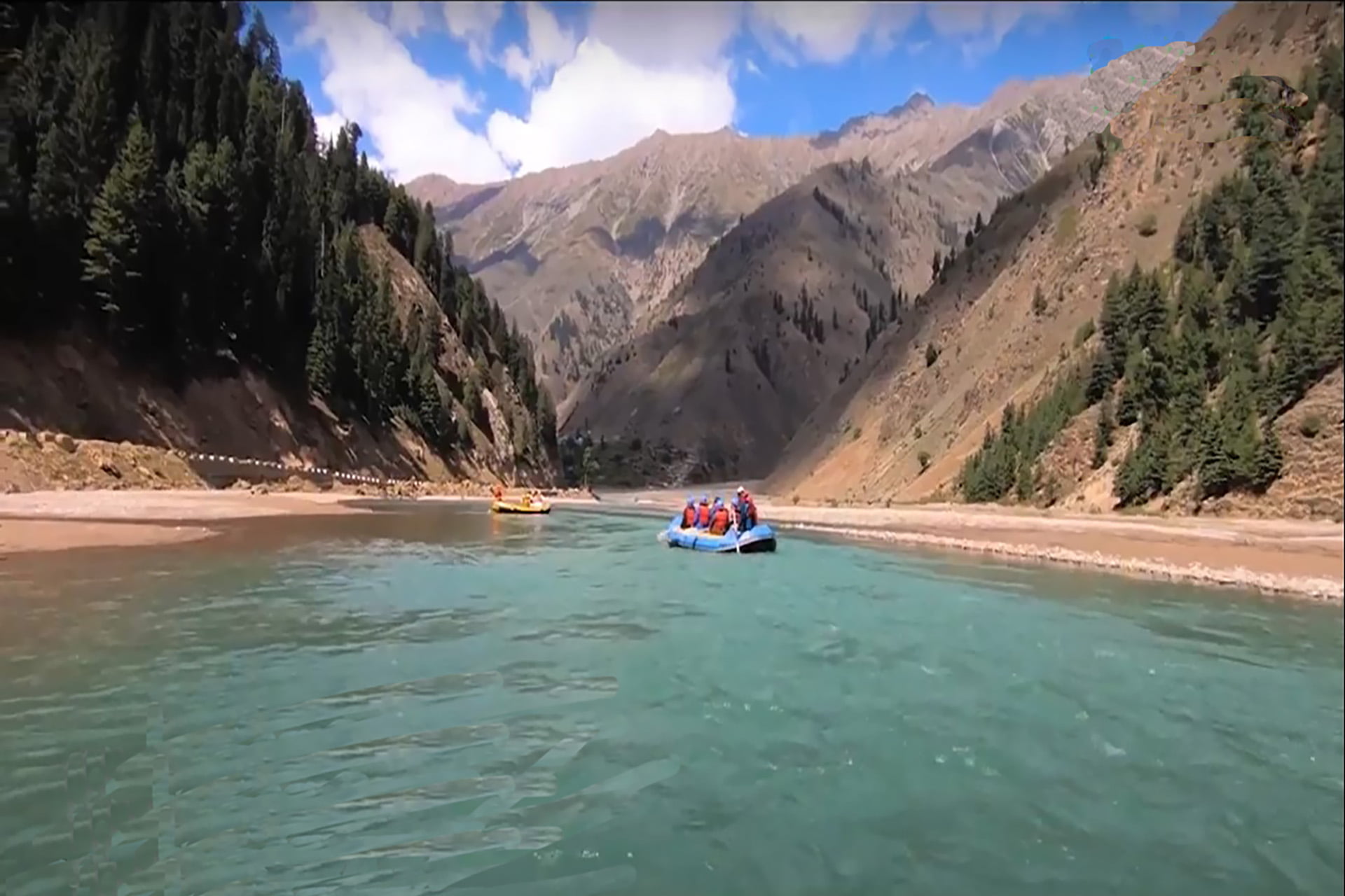
Terrain
Mainly divided into three main geographic areas:
- Northern Highlands,
- Indus River plain within the center and east,
- Baluchistan highland, with the south and west
Nationality
Pakistani
Religion
Islam – 96.4% Muslims
Government type
Federal Parliamentary Islamic Republic
Capital
Islamabad
A word derived from two words: “Islam,” referring to the Islamic religion, and “-abad,” the Persian appendix means “City,”
hence the meaning “City of Islam”
Administrative Divisions
- Federal Capital
- Punjab Province
- Balochistan Province
- Sindh Province
- KPK Province
- Azad Jammu & Kashmir (Autonomous)
- Gilgit Baltistan (Autonomous)
Geographic Location
It is located in the Northwest of the South Asian continent. Pakistan is in the summit of Central Asia and the Middle East, which gives it a major political status as it is placed in a region that is highly regarded for its political, economic and strategic location.
Climate
Very Tropical, Dry desert; Arctic North
Population
Around 233,500,636. 5th Most Populous in the World
Legal system
A common legal system influencing Islamic and Sharia Laws
Traditional Dress
Men: Qameez Shalwar
Women: Qameez Shalwar with Duppatta
Area
Languages
Urdu and other regional languages.
English is also widely spoken & understood everywhere.
Gateway of Pakistan
Karachi
Gateway of Invaders
Khyber Pass
Age structure
- 0-14 years: 36.01%
- 15-24 years: 19.3%
- 25-54 years: 34.7%
- 55-64 years: 5.55%
- 65 years or more: 4.44%
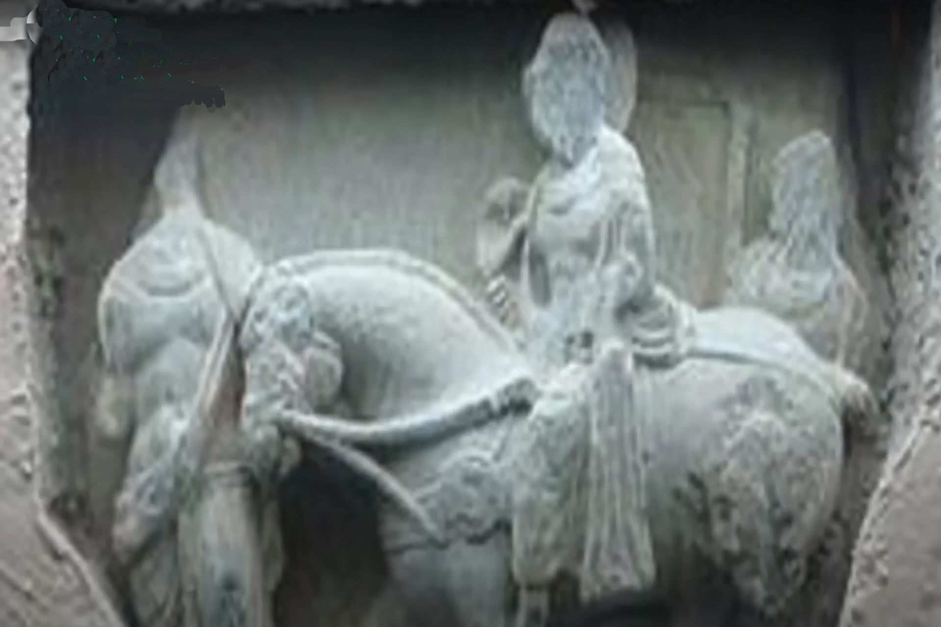
Ancient Sites
- Mohenjo-Daro
- Harappa
- Taxila
- Gandhara
- Harappa
- MeharGarh
Deserts
- Thar desert (Sindh),
- Kharan desert (Balochistan),
- Katpana desert / Cold Desert (Sakardu),
- Thal (Bhakkar district of Punjab) &
- Cholistan (Bahawalpur, Punjab)
Highest Mountain
K-2 (8611 meters)
Coastline
1050 KM (650-Mile) coastline along the Arabian Sea and the Gulf of Oman
800 km in Balochistan, and, 250 km in Sindh
Beaches
Pakistan’s Main Beaches include
- Somniani,
- Hingol River,
- Ormara,
- Pasni, and
- Gawadar in Balochistan,
- Clifton and Hawks Bay in Sindh
Cliffs and Headlands Cliffs
Headlands are prominent in
- Jiwani,
- Pisukan,
- Gawadar
- Rasjaddi and
- Ormara
MotorWays
World Standard High-Speed Motorways are available throughout Pakistan.
- M1 – Peshawar to Islamabad – 155 Kms
- M2 – Islamabad to Lahore – 334 Kms
- M3 – Lahore to Abdul Hakeem – 230 Kms
- M4 – Pindi Bhatian to Multan – 309 Kms
- M5 – Multan to Sukkur – 392 Kms
- M6 – Sukkur to Hyderabad – 296 Kms
- M8 – Ratodero to Gawadar – 892 Kms
- M9 – Hyderabad to Karachi – 136 Kms
- M10 – Karachi Northern ByPass – 57 Kms
- M11 – Sialkot to Lahore – 288 Kms
- M14 – Hakla to Dera Ismail Khan – 280Kms
- M15 – HasanAbdal to Thakot – 180 Kms
- M16 – Swat Motorway – 160 Kms
Mountains
Five, including K2, of the world’s 14 highest peaks (eight thousand 26000 ft) are in Pakistan (four of them around Concordia
In addition, 108 peaks are over 7,000 meters high. Mounts over 5,000 and 4,000 m are not included.
Pakistan’s highest mountains are located in the Karakoram region (located within the Gilgit – Baltistan region), but some peaks of 7,000 feet or more are also found in the Himalayan and Hindu Kush.
Transport
The Transport system of Pakistan broadly consists of Roads, Railways and Air transport.
- Air Transport
- Pakistan International Airlines,
- AirBlue and
- Serene Air
- Railways
- Pakistan Railways
- Road Transport
- Economical & Luxury Bus Services
- App-Based Services – Uber & Careem
- Bike Taxi – App-Based
Currency
Pakistani Rupee (Rs.)
Abbreviated as PKR & Symbol as Rs.
Available in Following Denominations:
- Rs. 1 (Coin)
- Rs. 2 (Coin)
- Rs. 5 (Coin)
- Rs. 10
- Rs. 20
- Rs. 50
- Rs. 100
- Rs. 500
- Rs. 1000
- Rs. 5000
Main Airports
- Islamabad International Airport, Islamabad
- Jinnah International Airport, Karachi
- Allama Iqbal International Airport, Lahore,
- Peshawar International Airport
- Quetta Intenational Airport, Quetta
- Gilgit Airport, Gilgit
- Skardu Airport, Skardu
- Gwadar Airport, Gwadar
- Chitral Airport, Chitral
City of Flowers
Peshawar