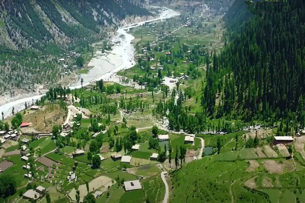
Nestled in the North Atlantic Ocean between Norway and Iceland, the Faroe Islands beckon with their rugged landscapes, dramatic cliffs, and charming villages. A group of 18 islands, each with its own unique character, make up this remote and captivating archipelago. In this article, we’ll delve into the geography of the Faroe Islands and explore the features that make up its distinctive map.
Archipelago Layout
The Faroe Islands are spread across approximately 1,399 square kilometers (540 square miles) of ocean. The largest and most populous island, Streymoy, houses the capital city, Tórshavn. The islands are connected by a network of bridges, tunnels, and ferries, making it relatively easy to navigate between them. Each island has its own charm and attractions, ranging from towering cliffs to tranquil fjords and vibrant villages.
Dramatic Coastlines
The Faroe Islands are renowned for their dramatic and rugged coastlines. Steep cliffs that plunge dramatically into the ocean are a defining feature of the landscape. Clusters of sea stacks rise from the waves, creating a surreal and almost mythical atmosphere. These towering geological formations serve as a haven for seabirds, including puffins, guillemots, and razorbills.
Fjords and Valleys
The islands’ volcanic origins have given rise to a myriad of fjords, inlets, and valleys. These geological features shape the landscape, providing sheltered harbors and picturesque landscapes. Fjords cut deeply into the islands, creating stunning vistas of soaring mountains and serene waters.
Lakes and Waterfalls
Though relatively small in size, the Faroe Islands are dotted with numerous freshwater lakes and cascading waterfalls. These bodies of water add to the beauty of the already picturesque landscapes. Some lakes are nestled within the valleys, while others are perched high among the mountains.
Vibrant Villages
The Faroese villages are characterized by colorful houses and a strong sense of community. Traditionally, these villages have been centered around fishing, and many of them retain their maritime charm. The islands’ geography often dictates the layout of the villages, with buildings clinging to the sides of hills or tucked into sheltered coves.
Map and Navigation
Exploring the Faroe Islands requires a good map and a sense of adventure. While modern navigation tools can be helpful, the best way to truly experience the islands is to explore them at a leisurely pace. The roads wind through breathtaking landscapes, providing opportunities for scenic drives and hikes.
The Faroe Islands’ map is a tapestry woven with the threads of stunning landscapes, dramatic coastlines, and vibrant communities. Whether you’re hiking along cliffside trails, sailing through picturesque fjords, or simply savoring the tranquility of a village, each corner of the Faroe Islands offers a unique and unforgettable experience. As you navigate these enchanting isles, you’ll discover a world that seems to exist in its own realm of beauty and intrigue.

