Introduction: New Zealand’s Ecological Ark
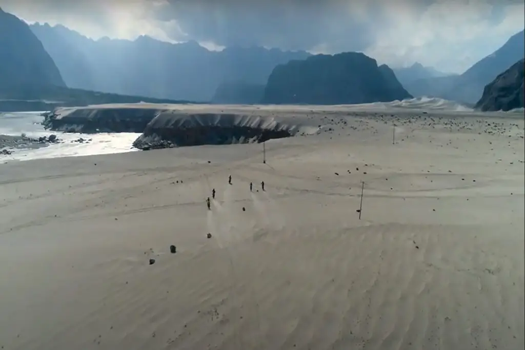
Rising sharply from the waters of Lake Te Anau, the Murchison Mountains form one of Fiordland National Park’s most remote and ecologically significant regions. This rugged alpine area gained global fame as the last refuge of the takahē after the bird’s dramatic rediscovery here in 1948. Today, these mountains remain a strictly controlled scientific reserve, protecting some of New Zealand’s rarest species in near-pristine wilderness.
1. Geographic Profile
📍 Location & Access
- Region: Southwestern Fiordland, bordering Lake Te Anau
- Area: 800 km² (500 sq mi) of alpine terrain
- Access: By helicopter or multi-day hike (DOC permit required)
🗻 Key Features
| Peak | Elevation | Notable Characteristic |
|---|---|---|
| Mount Murchison | 1,688 m (5,538 ft) | Highest point |
| Takahe Valley | 900-1,200 m | Core conservation zone |
| Lake Orbell | Glacial tarn | Rediscovery site of takahē |
2. Ecological Significance
🦜 Takahē Sanctuary
- 1948: Dr. Geoffrey Orbell discovered surviving takahē here
- Last wild population: ~250 birds in the 1950s (now reduced to ~20 wild pairs)
- Management: Intensive stoat control and habitat monitoring
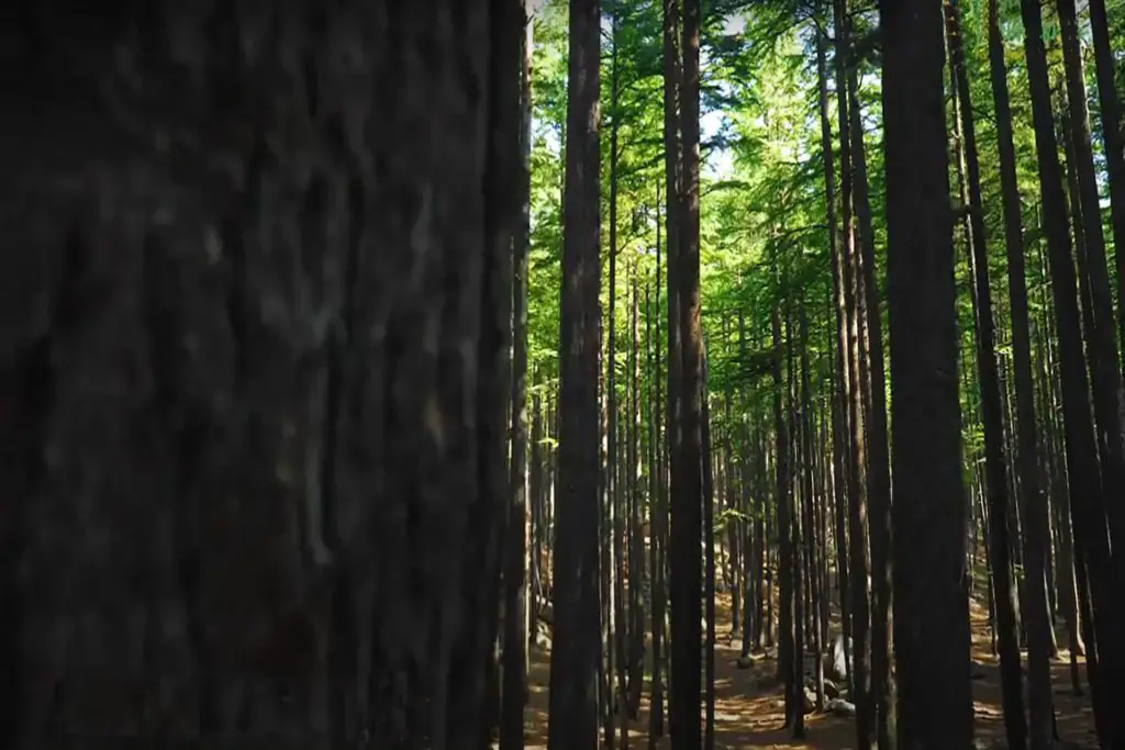
🌿 Unique Alpine Ecosystem
- Tussock grasslands: Critical for takahē feeding
- Dwarf beech forests: Unusual high-altitude growth forms
- Endemic species:
- Fiordland crested penguin (rare nesting sites)
- Kea (alpine parrot)
- Powelliphanta “Murchison Mountains” snail (endangered)
3. Conservation Challenges
⚠️ Threats
- Stoats: Kill 60% of takahē chicks annually without control
- Red deer: Overbrowse critical tussock grasses
- Climate change: Shifting vegetation zones
🛡️ Protection Measures
- Aerial 1080 drops (targeting stoats)
- Deer culling programs (since 1964)
- Microclimate monitoring stations (tracking vegetation changes)
4. Scientific Research
🔬 Ongoing Studies
- Takahē behavior: Nesting habits under predator pressure
- Alpine ecology: Climate change impacts on food sources
- Genetic research: Maintaining diversity in small populations
📊 Monitoring Technology
- Motion-sensor cameras: 200+ across the range
- GPS tracking: All wild takahē are tagged
- Acoustic sensors: Detect stoat incursions
5. Visiting the Murchison Mountains
🚫 Access Restrictions
- No public entry without DOC permit
- Research priority: Only scientists and conservation workers allowed
Alternative Viewing Options
- Te Anau Wildlife Centre (captive takahē)
- Milford Sound flights (aerial views)
- DOC visitor centers (live tracking data displays)
6. Cultural Connections
Māori History
- Ngāi Tahu ancestral lands
- Traditional name: “Kā Whenua Roimata” (Land of Tears)
- Historical significance: Route to pounamu (greenstone) sources
European Exploration
- 1863: First mapped by James Hector
- 1940s: Rediscovery expeditions led by Orbell
- 1962: Declared Special Takahē Area
Conclusion: A Fragile Stronghold
The Murchison Mountains represent both a conservation success story and an ongoing battle. As climate change and invasive species pressure mount, this isolated range continues to serve as New Zealand’s most important ark for alpine biodiversity.
“In these silent mountains, every tussock of snow grass tells a story of survival against impossible odds.”
FAQs
❓ Why can’t tourists visit?
To minimize disturbance to endangered species in this critical habitat.
❓ How many takahē live here today?
About 20 breeding pairs (half the wild population).
❓ Are there hiking trails?
No maintained trails—terrain is extremely rugged.
Want to support? Donate to DOC’s Takahē Recovery Programme.
Would you like details on Fiordland’s other protected areas? Ask below! 🏞️