Musa Ka Musala is a prominent peak located in the Himalayan mountain range in the Abbottabad district of Khyber Pakhtunkhwa province, Pakistan. It is one of the highest peaks in the area, with an elevation of 4,076 meters (13,400 feet) above sea level.
The peak is named after Musa Khan, a local shepherd who used to graze his sheep on the mountain. Musa Ka Musala is a popular destination for hikers and trekkers, with many local and international visitors making the challenging trek to the summit.
Musa ka Musala Height
Musa ka Musalla is a peak standing at an altitude of about 4,076 meters (13,400 ft) at the junction of the Siran and Kaghan valleys in the Himalayas.
Musa Ka Musla Peak Location
It is located 150 kilometers (93 mi) north of Abbottabad city in Balakot Tehsil of Mansehra District.
The name Musa ka Musalla translates to Moses’ mat. Legend has it that a shepherd named Musa prayed there at the top. There is also a shrine on top of probably the same shepherd who is venerated as a saint according to the sites.
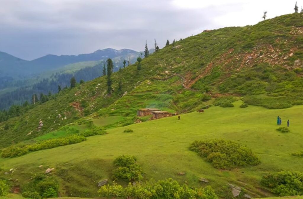
Musa ka Musala Trek
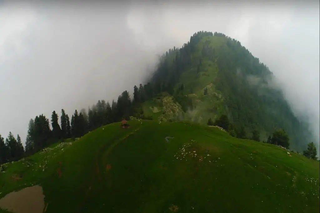
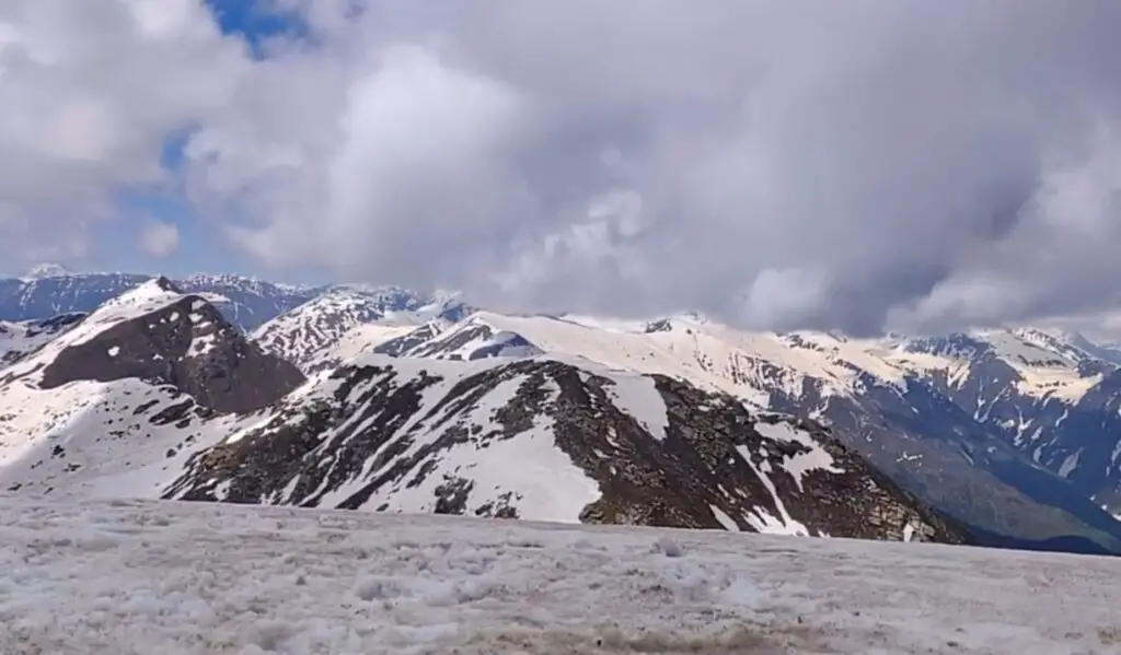
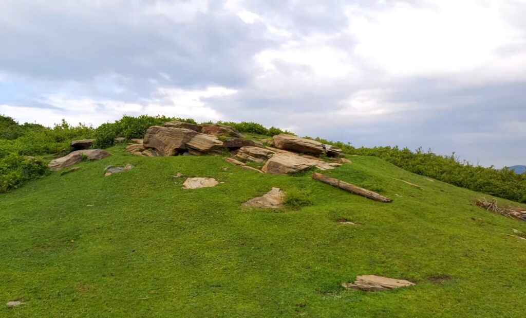
The trek to the top of Musa Ka Musala is a difficult one, but it is well worth the effort. The trail starts from the village of Jhika Gali and winds its way through the beautiful forests of the Nathiagali hills, before ascending steeply to the summit. Along the way, hikers are treated to stunning views of the surrounding valleys and mountains, including the snow-capped peaks of the Himalayas.
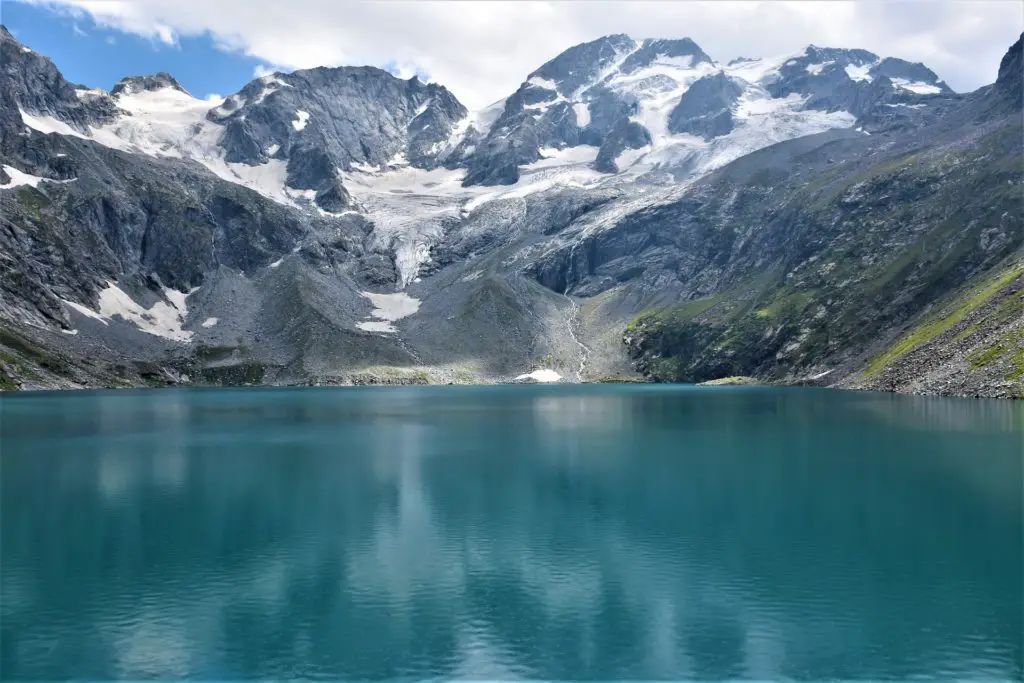
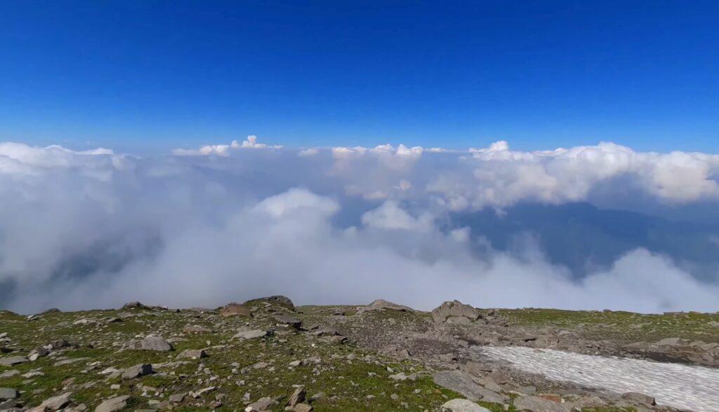
The summit of Musa Ka Musala offers breathtaking panoramic views of the surrounding landscape, with a clear view of the city of Abbottabad and the nearby Thandiani hill station. On a clear day, hikers can even see as far as the Indus River and the Karakoram mountain range.
The trek to Musa Ka Musala is a challenging one and requires a certain level of fitness and experience. Hikers are advised to come prepared with appropriate gear and to hire a local guide who is familiar with the area.
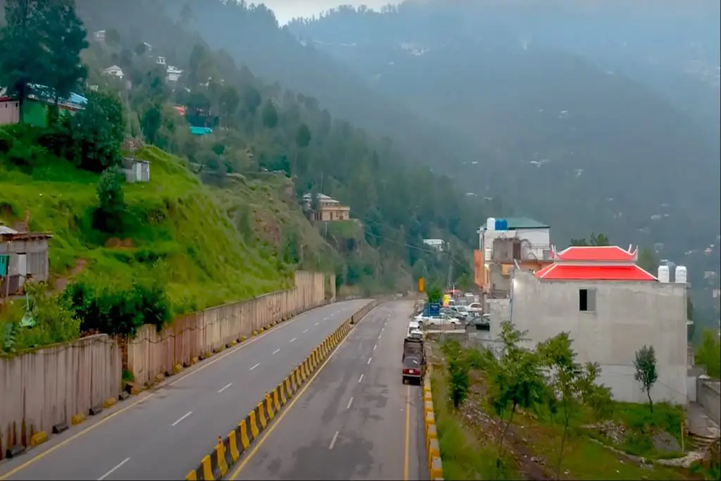
How to Reach Musa ka Musala Peak
The peak is accessible by three routes in summer, but all require hours of trekking.
- Road from Balakot to Nadi Bangla and Kund Bangla
- Forest Path Paras to Sharan
- Shinkiari to Mandaguch route
The Shinkiari route to MandaGucha is the most accessible route to reach the summit.
From Naddi Bangla: You can reach Naddi Bangla from Balakot by road that goes through Hangrai and takes about a few hours. The building here is basically used to guard the forest and is not in particularly great condition. The road is paved up to Hangrai and a short distance on the other side when you turn left onto the car-only road.
From Mandakucha/Jacha Village: You can reach here via Mansehra/Shinkiari. Transport is available from Mansehra to Mandakucha and the journey is through Jabori and takes about 2-3 hours. You can even rent a Hiace van or a car that can be taken to Jacha village. Porters is taken from Mandakucha village. From the starting point, the trek to the highest of Musalla takes 8-10 hours. One will camp at Bikhi or Khori on approach to this area units 4-5 and 6-7 hours trek from Mandakucha several times.
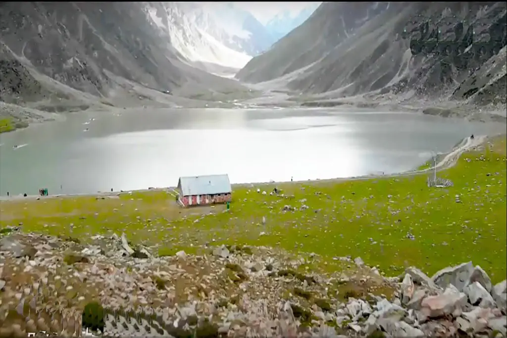
Musa ka Musalla is the second-highest peak of the Siran Valley. The valley got its name from the Siran River. Musa Ka Musala stands at an altitude of 4080 meters at the junction of the Siran and Kaghan valleys in the Himalayas. The name translates as “Moses’ mat”, with which various stories are associated.
The mountain has the appearance of a prayer mat, hence the name Musa Ka Musala, which means the prayer mat of Moses. The mountain is covered with ice all year round. The top of the mountain is considered a ziarat (Islamic shrine) by the locals because a shepherd used to say his daily prayers on the top in the old days. The mountain is surrounded by the Khunda (Gali) peak, which closely resembles K2.
Mandagucha is a village located in Siran Valley, Mansehra District, Khyber Pakhtunkhwa, Pakistan. The village is on the way to one of the highest peaks of the Himalayas in Pakistan, Musa ka Musalla, and has a cool climate.
Information about the Musa Ka Musalla trek
- Duration: 3 days and 2 nights
- Availability: November 10-13, 2022
- Temperature: Normal during the day Cold at night
- Trek condition: Moderate to difficult.
- Maximum altitude: 4,080 meters
Equipment needed for Musa Ka Musala Trek
- Backpack/Rucksack
- Gaiters – optional
- A good pair of shoes
- Raincoat – Depends on the weather
- Warm clothes, shakes and hats
- Hiking stick – optional
- Water bottle
- Sunscreen and sunglasses
- Items of personal hygiene
- Sleeping bag
Best time to Visit Musla ka Musala
The best time to try this trek is from June to mid-September. Some teams try it together in the winter in harsh conditions as a winter survival expedition. As with the opposite journeys in the region, porter rates do not appear to have been outlined yet and would need to be negotiated. Doormen would charge per day.
In conclusion, Musa Ka Musala is a stunning peak that offers a challenging and rewarding trek for hikers and nature enthusiasts. With its beautiful forests, stunning vistas, and breathtaking panoramic views, it is a must-visit destination for anyone looking to explore the natural beauty of the Himalayan mountain range in Pakistan.