Bolan Pass Balochistan is a high mountain pass at an altitude of 1,793 m (5,884 ft) above sea level in the Balochistan province of western Pakistan. The pass was used as a gateway to and from South Asia.
Bolan Pass Length
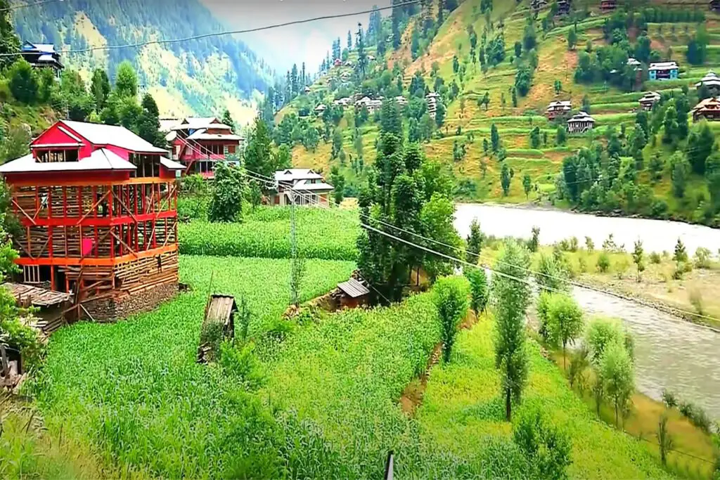
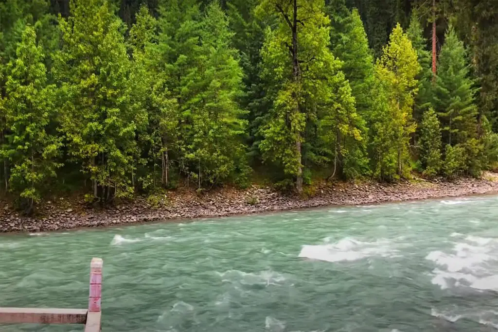
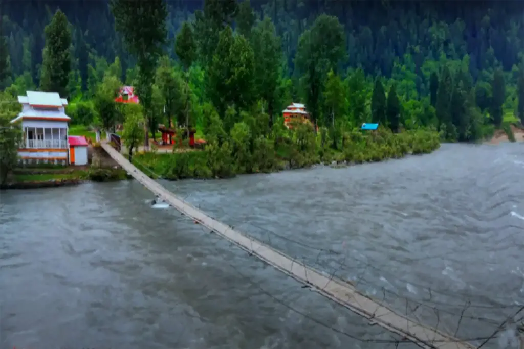
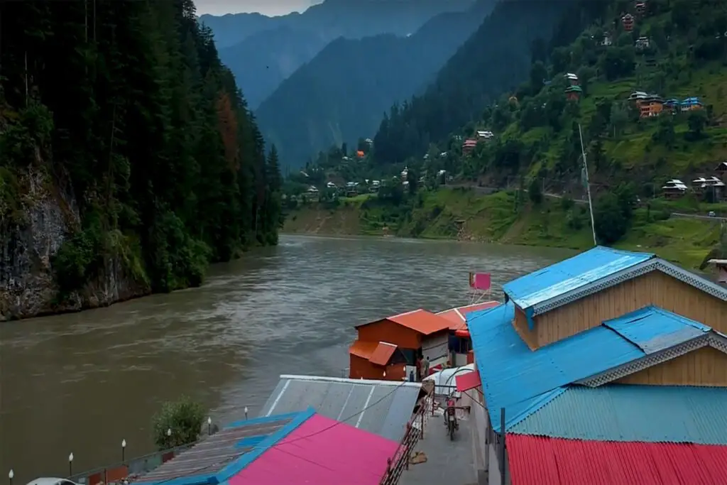
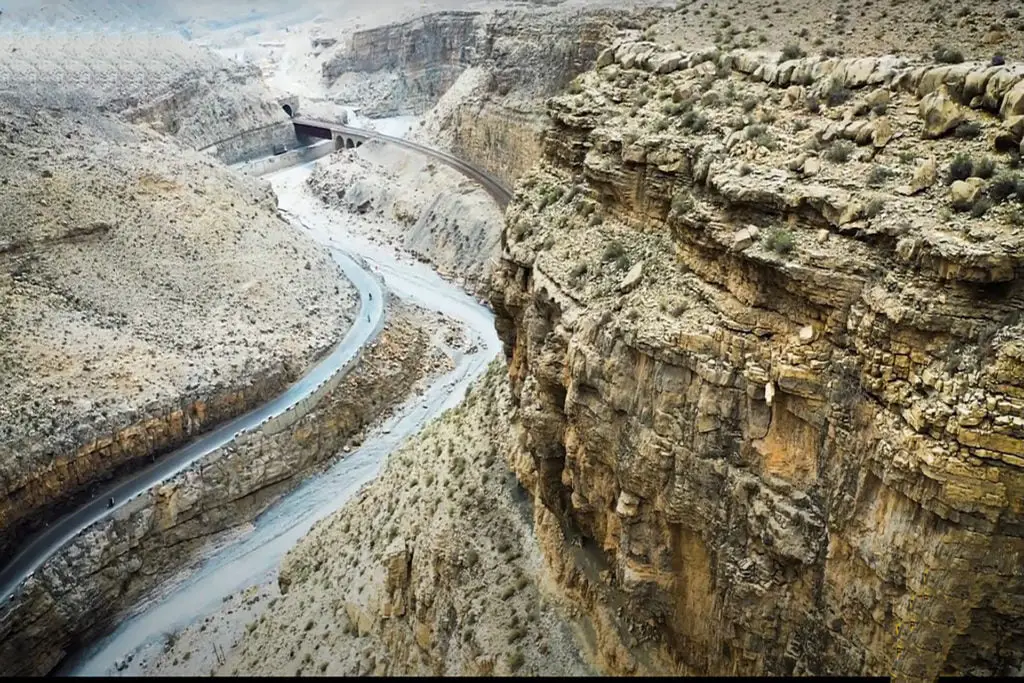
Bolān Pass is a valley and natural gateway through the Toba Kakar Mountains in the Balochistan Province of Pakistan. The pass is an 89 km (55 mi) stretch of the Bolan River valley from Rindli in the south to Darwāza near Kolpur in the north. It consists of a number of narrow gorges and sections. It connects Quetta with Sibi by road and rail.
Bolan Pass Balochistan Strategic Importance
Strategically located, traders, raiders, and nomadic tribes also used it as a gateway to and from South Asia. The Bolān Pass is an important pass on the Baluch frontier, connecting Jacobabad and Jhang with Multan, which has always occupied an important place in the history of British campaigns in Afghanistan.
Bolan Valley Local Population
The local population south of the pass consists mainly of the Brahvi tribes, who extend from the Bolan Pass to Cape Monze in the Arabian Sea. The ethnic group north of the pass consists mainly of Pashtuns, while to the west there are Baloch.
Bolan Pass Balochistan Location
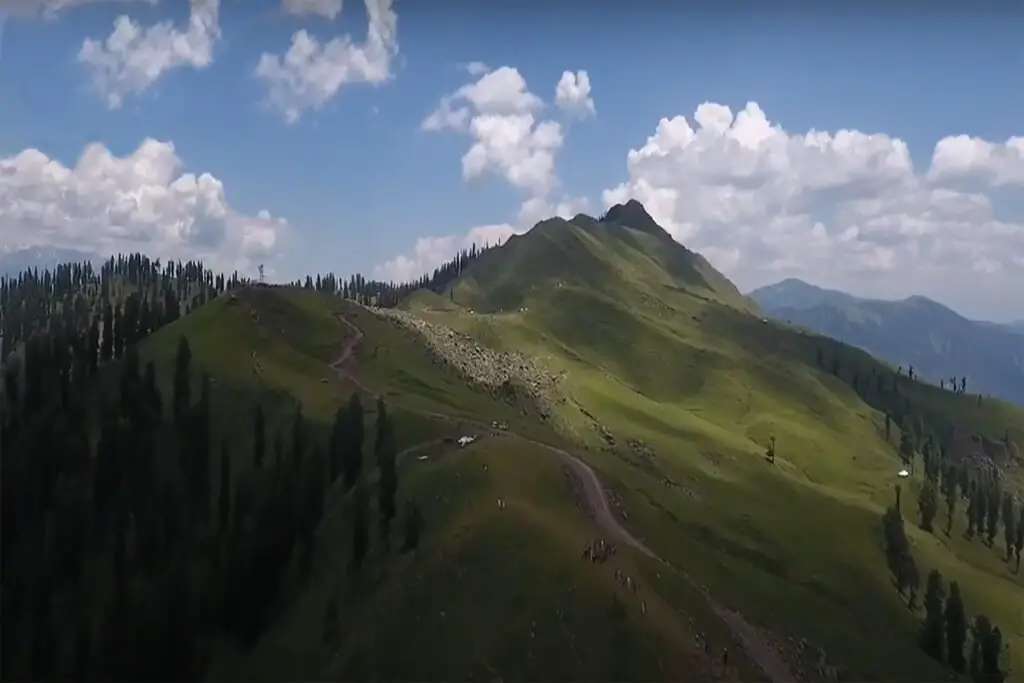
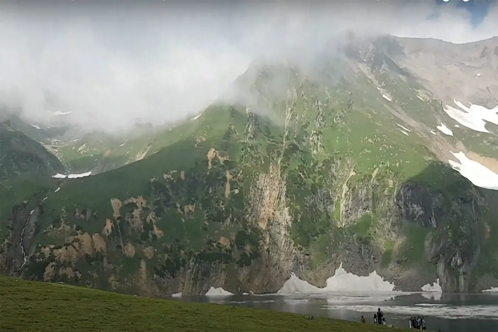
The Bolan Pass is located in the Toba Kakar Mountains, which lie south of the Hindu Kush Mountains. Bolan Pass is described as a pass through a lofty mountain range that is full of gorges and ravines.
The Bolan Pass Balochistan Mountains are the southern geographic boundary between the Indian Plate and the Iranian Plateau. The southern point of the pass, near Dhadar, is the western boundary of the Indus Valley and is considered a major strategic point between Pakistan, Afghanistan, Iran, and the Arabian Sea.
The Bolan Pass Balochistan is the southern counterpart of the Khyber Pass, and both mountain ranges have historically been used for invasions of the Indian subcontinent.
In 1748, King Ahmad Shah Durrani invaded India using the Bolan Pass in addition to the traditional route of the Khyber Pass. The Durrani capital of Kandahar was located near a pass that allowed quick access to the Indian lands.
Bolan Pass Balochistan History
In 1837, threatened by a possible Russian invasion of South Asia through the Khyber and Bolān passes, a British envoy was sent to Kabul to enlist the support of the Emir, Dost Mohammed.
In February 1839, during the First Anglo-Afghan War, a British army under Sir John Keane took 12,000 men across the Bolān Pass and entered Kandahar, which the Afghan princes had abandoned; from there they would continue their attack and overthrow Ghazni. The pass they chose was not the same as the one used by the modern railway, but further west at Siri-Bolan.
Bolan Pass Balochistan is one of the most famous mountain passes in the world. The pass passes through the Toba Kakar mountain range in the Balochistan province of Pakistan. The distance of the pass from the border of Afghanistan is almost 120 km. The coordinates of the pass are 29°45′N and 67°35′E. The elevation of the pass is 1,793.4 m (5,884 ft).
Bolan Pass Balochistan is known for its tactical location. This is why traders, raiders, and migrating clans used the Bolan Pass as a gateway to and from South Asia. It is a major pass on the Balochistan border and connects Sibi and Jacobabad with Quetta. This border played a key role in the chronicles of the British Army’s battles in Afghanistan.
Historically, the Brahui of the Kurdish ethnic group command law and order throughout the Bolan Pass area. This ethnic group still lives in the present-day Balochistan province of Pakistan.
In 1837, the British military was compelled by the perceived threat of a potential Russian invasion of South Asia through the Bolan and Khyber passes. As a response, they dispatched a diplomat to Kabul, the capital of Afghanistan, with the aim of seeking the support of Dost Mohammed, the Emir of Afghanistan.
In February 1839, led by Sir John Keane, a British land force transported approximately 12,000 soldiers through the Bolan Pass and entered Kandahar, which had been abandoned by the Afghan rulers. From there, they continued their campaign, ultimately leading to the capture of Ghazni.
Sir Robert Groves Sandeman negotiated a peace agreement with Khudadad Khan, the Khan of Kalat, which in exchange for covering a year’s expenses, secured British control over the Bolan Pass.
Bolan Valley Railways
Starting from Sibi, the railway track originally headed southwest, skirting the hills and closely following the Bolan’s course until it reached the plateau. However, due to the destructive effects of floods, this route was abandoned. The railway now traces a path through the Mashkaf valley, which empties into the plains near Sibi, running from near the head of the Mashkaf to its confluence with the Bolan River at Machh.
An alternative route from Sibi to Quetta was discovered through the Harnai Valley in the northeast of Sibi. This line, which begins in the opposite direction from the Bolan route, enters the hills at Nari. The Harnai route, although longer, is the primary route used for regular traffic, while the Bolan loop is kept for emergency situations. At the Khundilani Gorge along the Bolan route, the valley is surrounded by conglomerate cliffs that rise to a height of 800 feet.
Siri Bolan is a narrow passage between limestone rocks that can barely accommodate three people riding side by side. The temperature in the pass is extremely high during the summer, while in winter, it becomes bitterly cold near its head, with icy winds rushing through the narrow pass making it inhospitable. Since the establishment of the Quetta Agency in 1877, the pass has been guarded by the British Army, utilizing militias primarily from Baloch tribes, notably the Marris.