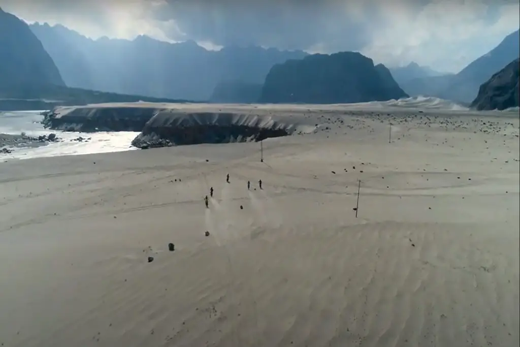
Nestled in the Himalayan range within the Gilgit-Baltistan region of Pakistan, Rakhiot Peak is a notable summit that forms a part of the Nanga Parbat massif. Its location just to the south of the Indus River places it in the Diamer District, with the western end of the Karakoram range lying not far to the north.
Mountain Layout and Features
Rakhiot Peak is intricately woven into the broader structure of Nanga Parbat. The core of Nanga Parbat presents a long ridge that extends in a southwest-to-northeast direction. At around 4 kilometers northeast of the Nanga Parbat summit, this ridge transforms into the East Ridge, which then turns more northeastward at Rakhiot Peak. Notably, the Silver Saddle, also known as Silbersackel, is positioned approximately halfway between Rakhiot Peak and the Nanga Parbat summit.
The mountain’s southern and southeastern flank is dominated by the formidable Rupal Face, renowned as one of the highest mountain faces in the world, rising an astonishing 4,600 meters (around 15,100 feet) above its base. On the north/northwest side of the mountain, descending towards the Indus River, the terrain takes a more complex form. Here, the mountain is divided into the Diamir (west) face and the Rakhiot (north) face by an extensive ridge. This area features several subsidiary summits, with the North Peak standing out, positioned approximately 3 kilometers north of the primary summit.
At the southern extremity of this ridge lies the Mazeno mountain pass, which stands at an impressive elevation of 5,358 meters (about 17,579 feet). This pass serves as a significant link connecting the towns of Astore and Chilas.
Mazeno Ridge
Rakhiot Peak is intrinsically connected to the larger Nanga Parbat mountain range, with the Mazeno Ridge forming a notable section of this expansive range. The Mazeno Ridge is distinguished by its exceptional length, spanning 13 kilometers from Mazeno Pass to Mazeno Col. Remarkably, it is the longest ridge among all eight-thousanders, extending from the west of Nanga Parbat and heading northeast towards the summit.
The southwestern part of this primary ridge is referred to as the Mazeno Wall and is adorned with eight subsidiary peaks, each reaching heights of over 6,800 meters (approximately 22,300 feet). The highest among them is Mazeno Peak, with an elevation of 7,120 meters (about 23,360 feet). Notably, the ridge’s unique structure leaves climbers with limited apparent escape routes on either side until they reach Mazeno Col, where it intersects with the Schell Route, ascending from the Rupal flank. Beyond Mazeno Col, an additional 2 kilometers of ascent lead to the pinnacle of Nanga Parbat.
Climbing History
The Mazeno Ridge has been a site of fascination and challenge for mountaineers. It was first attempted by a French mountaineering team led by Louis Audoubert in 1979, though adverse weather conditions prevented them from ascending beyond the first Mazeno peak. Several attempts by accomplished climbers were made in subsequent years, including those by English mountaineer Doug Scott, who pursued the ridge traverse in 1992 and 1995, achieving a partial climb of the Mazeno peaks.
In 2004, a significant milestone was reached when US mountaineers Doug Chabot and Steve Swenson completed a 10-kilometer traverse, reaching the Mazeno Col. However, they did not proceed to the summit of Nanga Parbat due to Swenson’s respiratory infection, opting to descend at the junction of the Schell Route.
In 2012, Scottish alpinists Sandy Allan, Rick Allen, and South African Cathy O’Dowd, together with Sherpas Lhakpa Rangduk, Lhakpa Nuru, and Lhakpa Zarok, traversed the ridge to Mazeno Col, setting up a camp at 7,200 meters. Despite an unsuccessful summit attempt, Allan and Allen persevered, successfully reaching the summit on July 15th after a challenging expedition lasting 18 days. Their remarkable achievement earned them the prestigious 2013 Piolet d’Or award.
Tragically, in 2017, Argentine Mariano Galvan and Spaniard Alberto Zerain disappeared while attempting the second ascent of the ridge. They are presumed to have been caught in an avalanche, as indicated by Zerain’s tracker coming to a halt about 180 meters below the ridge, where it remained stationary for fifteen hours before ceasing to function. A Pakistan military-led helicopter rescue mission identified avalanche debris at the location.
Rakhiot Peak and the Mazeno Ridge remain captivating challenges in the world of mountaineering, beckoning adventurers to explore their daunting heights and treacherous terrain.