Alpuri is the capital of Shangla District in the Khyber-Pakhtunkhwa Province of Pakistan. Alpuri Shangla, Pakistan is located at 34°54′00″N 72°39′00″E coordinates: 34°54′00″N 72°39′00″E and has an average altitude of 1587 meters.
Weather of Alpuri Shangla, Pakistan
With a mild and generally warm and temperate climate, Alpuri is characterized by a humid subtropical climate (Cfa) according to the Köppen climate classification.
The average temperature in the area is 15.8 °C, with an average annual rainfall of 1040 mm. Even in the driest months, there is a lot of precipitation. November is the driest month with 25 mm of precipitation, while July, the wettest month, has an average precipitation of 155 mm.
July is the hottest month of the year with an average temperature of 25.4°C. The coldest month, January, has an average temperature of 4.5 °C.
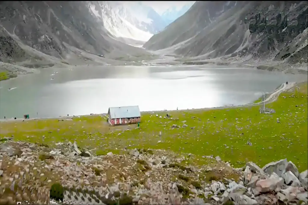
Shangla District is a district in the Malakand Division of Khyber Pakhtunkhwa, Pakistan. The district headquarters is located at Alpuri, while the largest town and commercial center is Besham.
The district was established in 1995, previously it was a subdivision of Swat district. The total area of the district is 1,586 square kilometers. Shangla consists of three subdivisions, Alpuri, Puran, and Besham tehsils.
The district is bounded on the north by Kohistan district, on the east by Battagram district and Torghar district, on the west by Swat district, and on the south by Buner district.
In Pirsar, Chakesar, and Daut there are monuments of the ancient Greek period. It is believed that Alexander camped at Pirsar for a few days. There are also relics of the Hindu Shahi at Olandar-Ajmair.