Chukail Banda (meadows) is located in the north of the Mankial valley. These highlands, surrounded by picturesque summer pastures, have become a popular tourist destination for many tourists. The magnificent peaks of Mankial shade the green pastures and seem to protect the valley from evil omens.
The Chukail Meadows are home to the famous endangered Markhor, snow leopards, wolves, golden monal, black bear, and many other wild species and the valley is declared a national park by the Government of Pakistan. This unique trek to Chukail Meadows is designed to provide an exciting opportunity for nature lovers to witness the enchanting hidden beauty of Swat Valley.
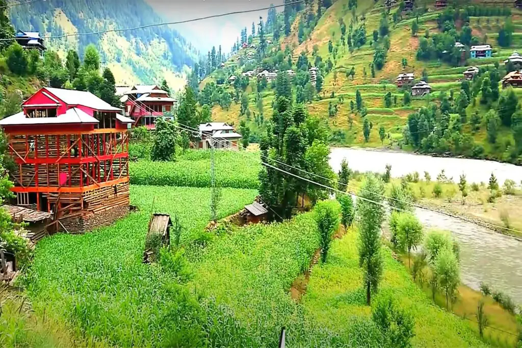
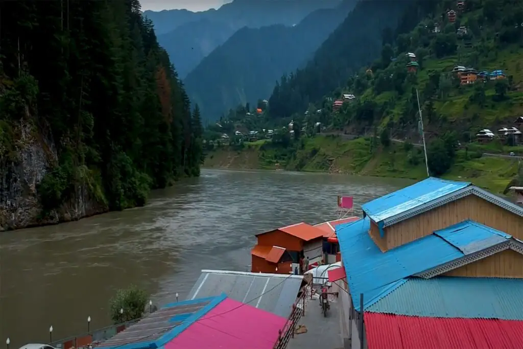
The Swat district of Khyber Pakhtunkhwa is often referred to as the Switzerland of Pakistan for its picturesque valleys and pleasant weather in summer. Every year, as temperatures rise in the plains of Punjab and Sindh, hundreds of thousands of domestic tourists head to the district to cool off at Malam Jabba, Madyan, Bahrain, Kalam, Utror, Mahudhand, or the hill stations of Upper Swat. During the three days of the Eid-ul-Fitr holiday in June 2019, 400,000 to 500,000 tourists aboard 197,000 vehicles visited Swat.
Tourism Potential in Chukail Meadows
Realizing the province’s tourism potential, the Pakistan Government in Khyber Pakhtunkhwa (KP) began exploring ways to promote the industry. New tourist destinations have been added to the already long list as the Government has opened sites in Naran, Dir, and Swat, including camps at Gabin Jabba.
Recently, a new tourist attraction called Chukail Meadows came into the limelight when some stunning photos of the sprawling green grasslands were posted on social media.
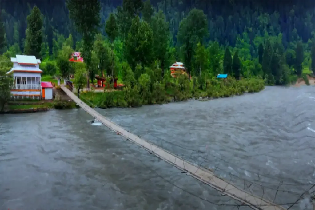
Reaching Chukail Meadows is nothing short of a challenge. Only specially modified 4-wheel drive pickups can withstand the track, which seems to disappear at every bend or behind the massive rocks ahead. Tourists can rent vehicles either in Bahrain or in Mankyal, which is right in the middle of the 34-kilometer Bahrain-Kalam stretch of the N95 national highway. The fare price is contractual.
Route to Chukail Meadows
The drive to Mankyal is smooth and takes no more than half an hour on normal days. The real off-road experience begins soon after leaving the town of Mankyal, as the approximately eight-kilometer track, mostly narrow and dangerously winding over old wooden bridges, green fields, and beside the noisy tributary of the Swat Mankyal River, through the villages of Serai and Badai, takes more than an hour and a half before arriving to Kamar Khwa.
Chukail Meadows Trek
The trek to Chukail Meadows begins on foot from the village, encompassing roughly two and a half hours of moderately steep ascent. Initially tracing a rocky, swiftly flowing torrent, the path ventures through dense forest to reach the summit.
During summer, a rivulet trickles from the thawing glaciers on the road’s right side. Approximately 35 minutes into the hike, the trail delves into a lush forest of Deodar and pine trees, progressively thickening with elevation.
Taking breaks at intervals throughout the journey not only revitalizes visitors but also offers opportunities to savor the melodious tunes of diverse bird species, including Pakistan’s national bird, partridges, and the Himalayan monal pheasant. Observing playful monkeys leaping from branch to branch adds to the enchantment. Locals assert sightings of leopards, wolves, ibex, musk deer, and markhor in the jungle and higher grasslands.
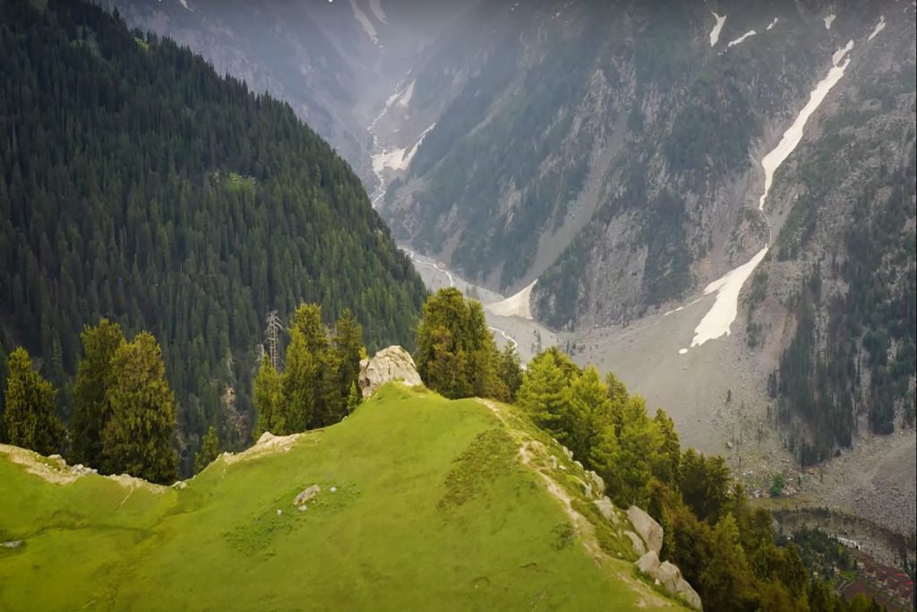
At an elevation of 3,000 meters, the landscape transforms abruptly as the trees recede, revealing an expansive swath of greenery. Scattered across Chukail Meadows are small stone and pine wood houses.
These dwellings remain vacant for most of the year, occupied solely between early July and September’s start when villagers from Serai, Badai, Balakot, Birna, and Kamar Khwa bring their cattle for grazing. The meadow grass holds immense value for the locals, prompting them to enlist a young man from each village to safeguard the pastures from livestock and wild animals between April and June.
People of Chukail Meadows
The Gujjar community in Kamar Khwa exemplifies warmth and hospitality, with even children readily welcoming visitors, offering tea, and sharing meals based on the time of day.
Engaging a local guide from Kamar Khwa comes highly recommended. They possess exceptional expertise in navigating the meadows, aiding in finding suitable shelter and locating clean, safe drinking water. Moreover, this opportunity allows the younger generation to earn a daily wage ranging from Rs 1,000 to 1,200.
Tourist Attractions at Chukail Meadows
Chicail Meadows boasts breathtaking views and a serene tranquility, which fascinate tourists who are often content to spend the whole day to themselves. It is possible to spend the night amidst this beauty. Many travelers come equipped with portable tents, although the nights can be significantly cooler than the sweltering summer heat elsewhere in the country. With the permission of local residents, access to their homes is granted for shelter.
These meadows flourish with an abundance of wildflowers, a spectacle that blooms from May to July. The plains are dotted with no less than 11 species of wildflowers, adorning the landscape in colors ranging from vibrant yellows to blues, pinks, purples, reds and whites. Numerous rivers, fed by nearby melting glaciers, flow through these plains, offering fresh, cool water.
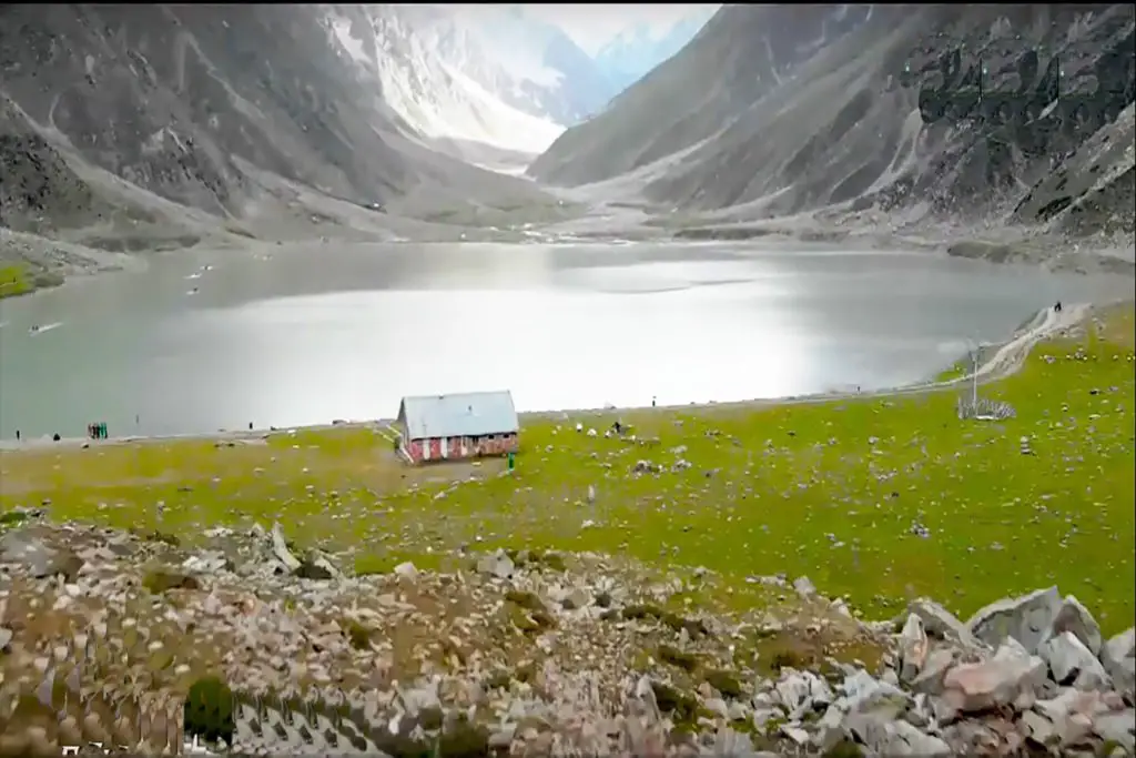
A further trek of about an hour and 40 minutes, covering about three kilometers over lush green plains and a slightly steep hill, leads to Chokel Kundau at an altitude of 3,600 meters. The panoramic view from this vantage point encompasses the N95, Kalam and Bayon valleys, offering a mesmerizing view.
Adventurers can hike up to Khanqo Dhand at 4,000 meters. The lake requires an additional three-hour hike on a challenging, snow-covered trail that lasts until the end of July. By this time, Lake Khanqoo is usually mostly frozen, leaving the river flowing beneath it, forming a great waterfall.
For the more intrepid explorers, journeying to the base of the famed peaks of the Five Sisters of Mankyal is an enticing endeavor. However, many visitors opt to retrace their steps back to Mankyal via the same route to Kamar Khwa or explore alternative routes leading to Badai and Serai.
Some enthusiasts venture onward to Pishmal, a quaint town on the N95 preceding Kalam. From there, a select few continue their journey, spending nights en route to the Byoun Valley and ultimately traversing out of the mountains at Kalam.
The primary motivation for developing this region is to offer tourists an alternative to the bustling Kalam. The aim is to steer tourists towards lesser-explored valleys, as Kalam suffers from overcrowding, extensive commercial activity, and sporadic infrastructure development, which threatens its ecological balance.