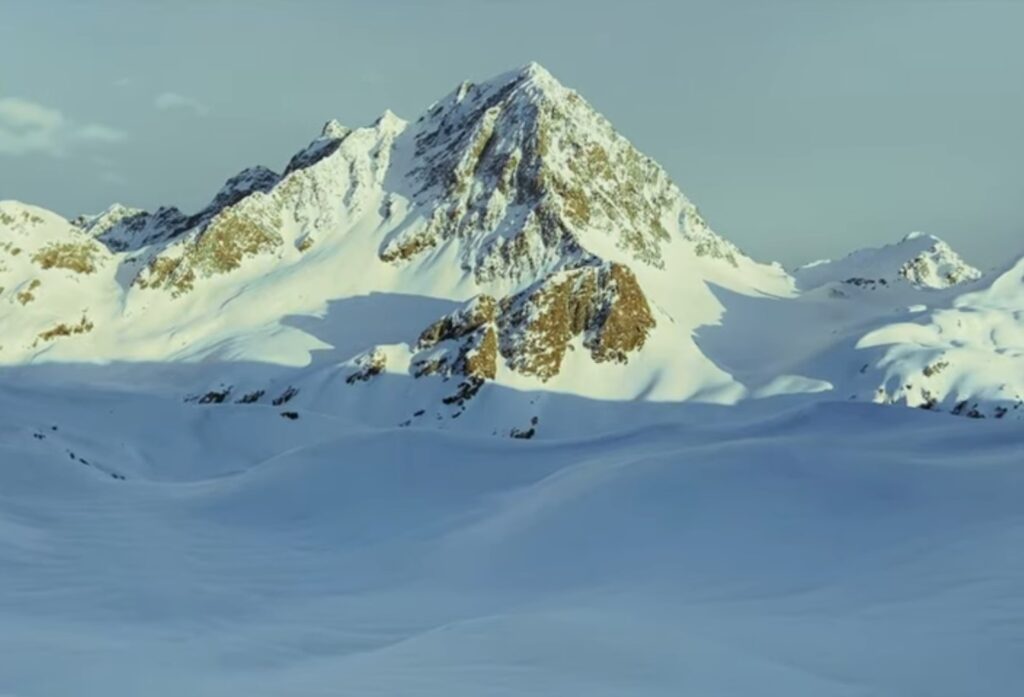
Sukai Sar is a mountain in northwestern Pakistan and has an elevation of 4,690 meters above sea level. Sukai Sar is located southeast of Ghaziano Dhand and southeast of Ghaziano Kandao.
Sukai Sar is a hidden treasure of a 4000-meter peak that will take your breath away. It is located in the heart of the Allai Valley.
Sukai Sar Trek Information:
- Temperature: Normal during the day while cool at night
- Trek Level: Difficult
- Maximum Altitude: 4688m
Route To Sukai Sar Top
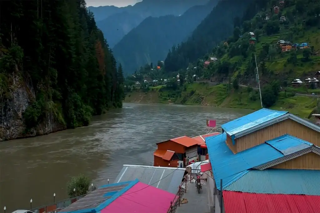
First leg: Islamabad to Thakot
The journey will start from Islamabad to Mansehra. The real adventure begins beyond Mansehra as you take the Karakoram Highway to Thakot, a popular place to rest and have refreshments.
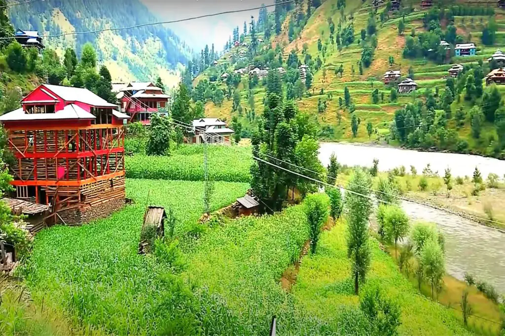
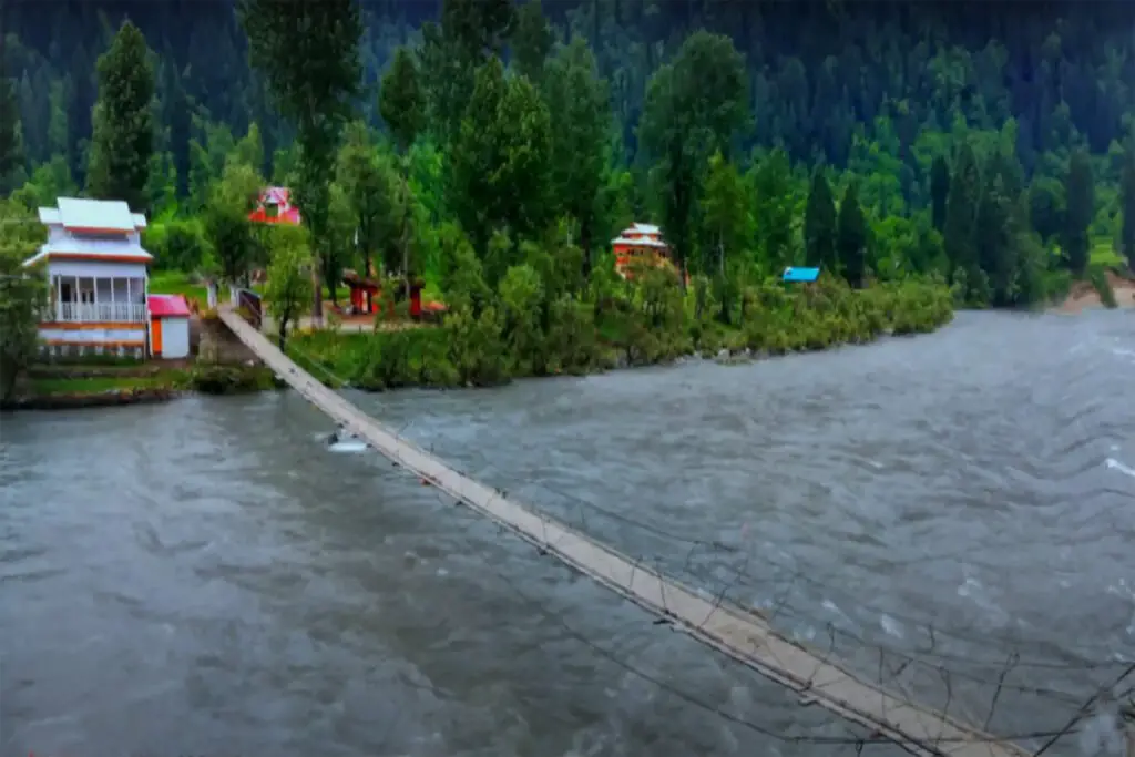
Towards the last village of Allai: Shamsher
Next, you will start your journey towards Allai. Rocky roads and uneven terrains are not suitable for normal vehicles. To reach the last village of Allai, called Shamsher Village, you need to hire a 4×4 vehicle. This is the final stop for all vehicles and mobile network coverage. From Shamsher Village, the trek will be on foot.
Two Ways to Approach to Sukai Sar Top
Route 1: From Kas Khwar Road
Route 2: The path of Jari Bela
Kas Khwar Road
The base camp route via Kas Khwar is an easier trek. Leaving Shamsher, you can reach the upper part of Kas Khwar during the day and camp for the night. There are three attractive features for climbing Sukai Sar via Kas Khwar:
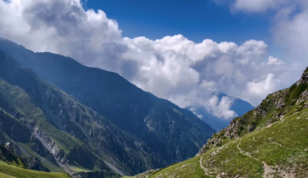
- First, you cross the Ghazian Pass with an altitude of about 4150 meters, which borders the Allai Valley and Kohistan.
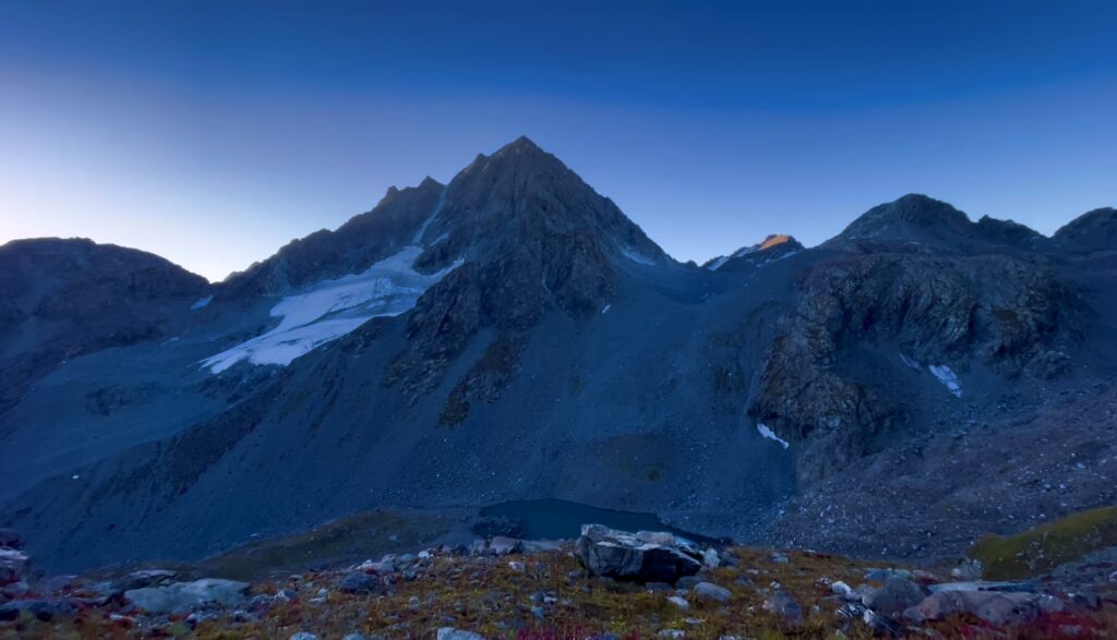
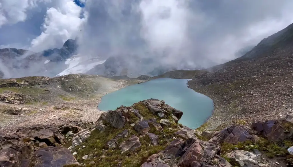
- Next, you will have a breathtaking view of the alpine lake called Khapero Dand, which will allow you to see the Sukai Sar mountain in all its glory.
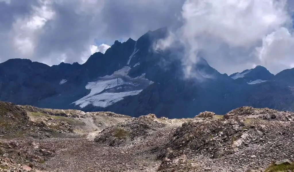
- Finally, you can follow the northwest ridge of Sukai Sar with its hanging glaciers on the Kas Khwar route. This particular view is breathtaking.
Despite its magical and mesmerizing views, trekking through Kas Khwar may not be for everyone.
This route is lengthy and extends the duration of the hike to Khapero Dand by at least 2 days. Additionally, reaching the southern ridge of the mountain would require approximately 5 hours of walking from the lake. Once you add in the five-hour hike to the main climb to the top, fighting exhaustion and fatigue can be a real challenge.
The Path of Jari Bela
On the other hand, access to the base camp via Jari Bela is shorter. But beware, the hiking trail is much steeper and the final part of the hike can be quite technical. This shorter route reduces journey time. And hikers can reach the south ridge of the mountain in a day and make it a base camp – for an early ascent the next morning.
From Shamsher to Jari Bela is a three to four-hour hike. After a short break, you can continue the steep ascent and cross the glaciers towards the Jari Bela pass (6-hour hike) leading to the Sukai Sar base camp.

FINAL ASCENT AND DESCENT TO SUKAI SAR
From traversing narrow ridges to slippery slopes and spiky glaciers, reaching the summit is no easy feat. Our advice is always to stay with the group, proceed wisely, and follow the anchor. You will reach an altitude of 4690 meters to hoist the national flag and witness the raw beauty of Sukai Sar hidden in the clouds.
However, the adventure does not end there! Because the descent to Khapero Lake must be quick and careful. You can easily reach the campsite sometime after sunset if you time your ascent and descent carefully.