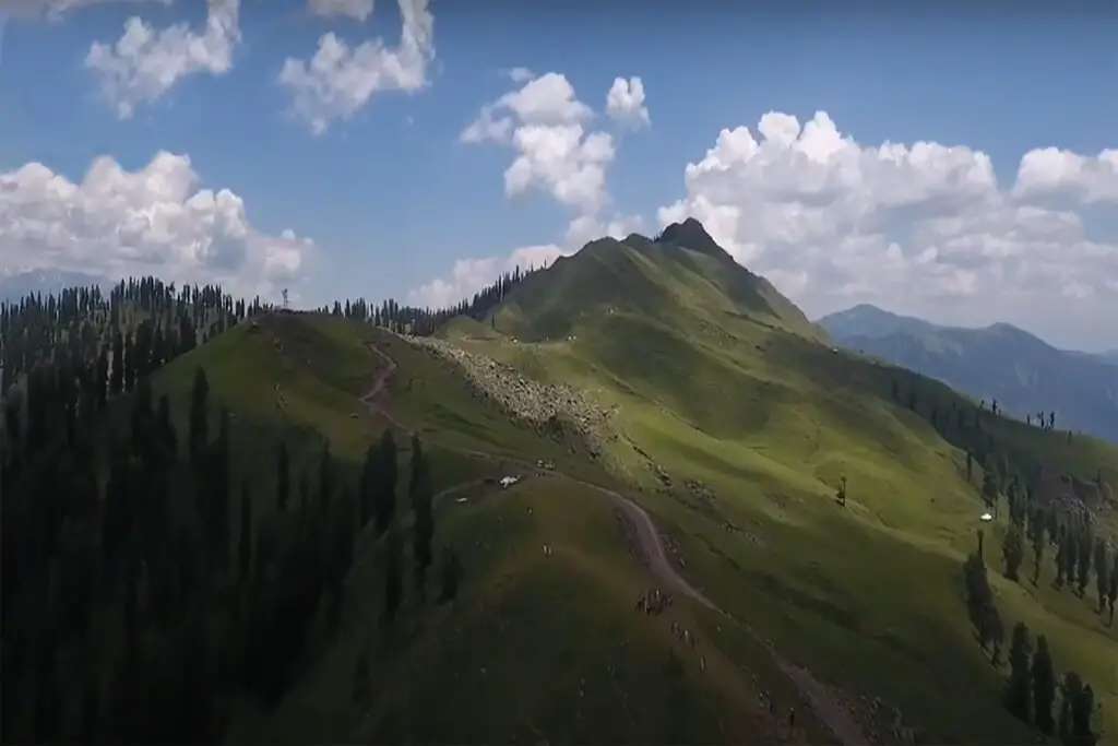
The Hindu Raj Mountains are a mountain range in northern Pakistan, between the Hindu Kush and the Karakoram Mountains. Its highest peak is Koyo Zom, 6,872 m (22,546 ft). Other notable peaks include Buni Zom, Ghamubar Zom, and Gul Lasht Zom. Peaks in the Hindu Raj range, average around 5,000 to 6,000 meters.
Location of Hindu Raj Mountain
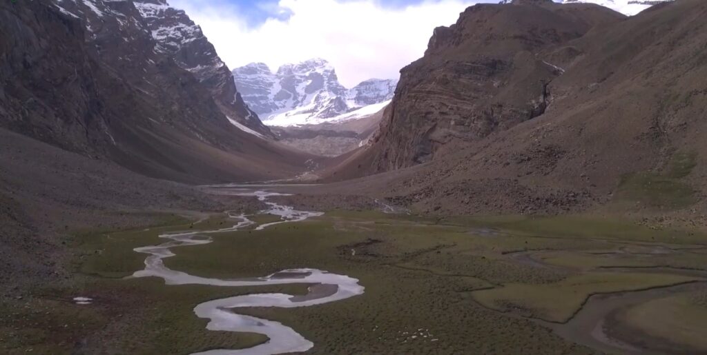
Between Chitral and Gilgit stretches the Hindu Raj Mountain range; they are located south of the Pamir Mountains and east of the Hindu Kush. Its peaks rise to approximately 22,500 feet. The Hindu Raj mountain range runs parallel to the Hindu Kush mountain range.
Most people consider it part of the Hindu Kush mountain range, but many geographers and purists consider the Hindu Raj to be a separate mountain range. And surprisingly, very few people in the subcontinent have heard of him. Although everyone is well aware of the Hindu Kush mountain range and the many versions of how it came to be.
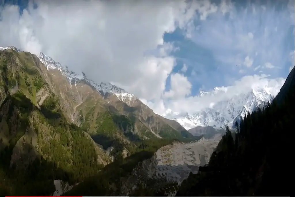
Peaks in the Hindu Raj Moutain Range
Hindu Raj Mountain range is a majestic mountain range in its own right, but like the Pir Panjals to the south across the Great Himalayan range, it is dwarfed by the giant peaks of the Karakoram and the Hindu Kush.
Not that it lacks heavyweights, but in a region that abounds with numerous 7,000 m plus peaks and even 8,000 m plus peaks, the highest peak in the Hindu Raj range, Koyo Zum tops out at 6,872 m (22,546 ft), which there is nothing at all. means less but it’s just dwarfed as mentioned earlier. To put this height into perspective, the highest peak in the Andes, Aconcagua stands at 6962m.
According to Encyclopedia Britannica, “A broader definition of the Hindu Kush would include the fourth region known as the Hindu Raj in Pakistan.” The area is made up of a long, winding chain of mountains – with some lofty peaks such as Mounts Darkot (22,447 feet [6,842 meters]) and Buni Zom (21,499 feet [6,553 meters]) striking south from Lupsuk Peak (18,861 feet [5,749 meters]) in the eastern region, then continues to the Lawarai / Lowari Pass (12,100 feet [3,688 meters]) and on to the Kabul River.
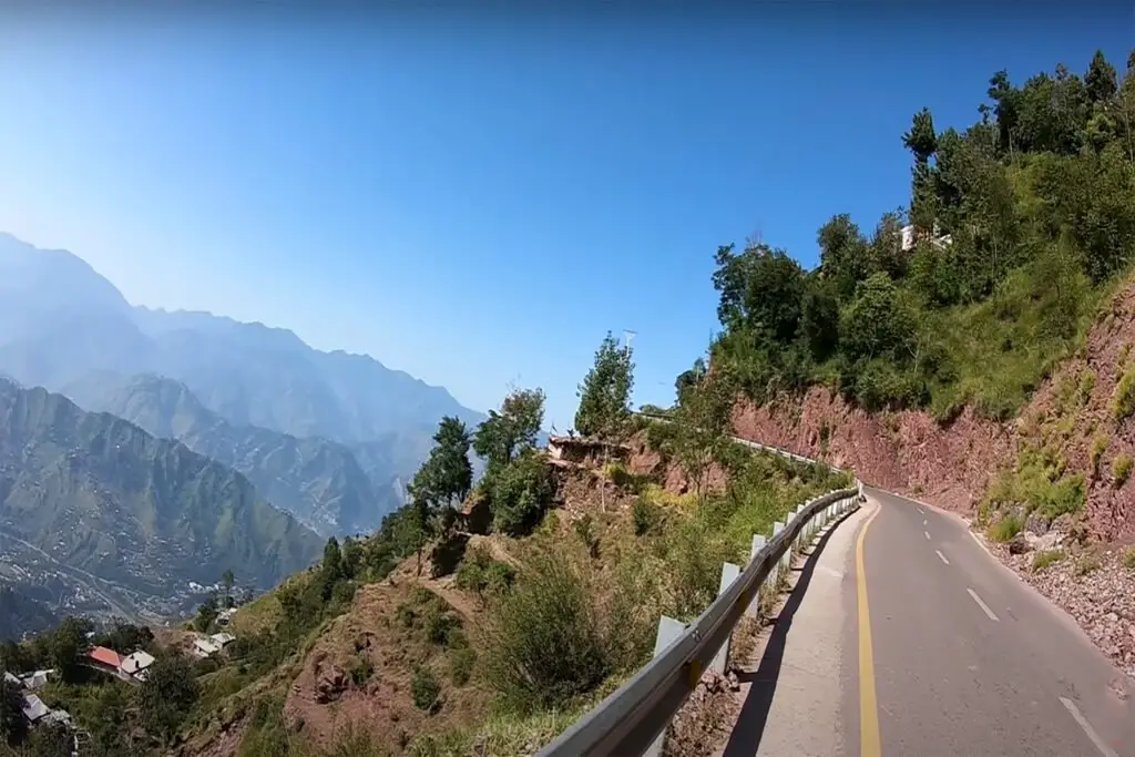
Lowari Pass is a pass that connects Dir in Khyber Pakhtunkhwa with Chitral which also falls in the same province. Lowari Pass is the lowest of the 4 traditional passes that connect Chitral to the outside world. Lowari Pass is famous for its avalanches and the number of people who historically died in it. Think of it as Rohtang or Zoji. If this chain is considered part of the Hindu Kush, then the outlying mountains of Pakistan’s Swat Kohistan region to the south also form part of the complex.
According to another definition of “Batholith Saltoro”, the area that lies between the right-left bank of the Yarkhun/Mastuj river valley in the west and north and the northern basin of Swat Kohistan in the south is the Hindu Raj. The main Hindu Kush range lies to the east and north of the Yarkhun/ Mastuj/ Chitral/ Kunar river system.
Now most of us are familiar with the Etymology of the Hindu Kush, which according to one definition meant “Slayer of the Hindus”, a reference to the wild avalanches that the Hindu Kush unleashed. It was also said to be a reference to the large number of people from the subcontinent who were taken as slaves to Central Asia via the Hindu Kush and many perished crossing this formidable mountain range.
The reference to the Hindu Raj Mountain Range must have come from the Hindu Rulers who held power in the region. But it is just an assumption. You have to remember that at that time “Hindu” was a geographical term and still is, but now it has a different connotation.
Since the area is in the same vicinity where the Kalasha people live, maybe this is a reference to them and their ancestors when most of the people here were Kalasha. This remains a matter of speculation as I have yet to come across a source that mentions why these particular mountains were called the “Hindu Raj” range.
Culturally, the area also has a very interesting history. According to “Batholight Saltoro”, “Culturally, the linguistic mix is interesting as it contains a mixture of Shina, Burushaski, Khowar, Gujar, and Wakhi speakers, reflecting the complex history of the area.”
It was ruled variously from Chitral, both by the Kushwaqt dynasty and by the Ul Mulk dynasty, from Gilgit, Srinagar, Tibet, from Persia. The original inhabitants of its eastern valleys appear to have been speakers of Burushaski, retaining what is believed to be a purer version of the language compared to that spoken in the Hunza region.