Gul Lasht Zom is a beautiful and challenging peak located in the Hindu Kush range of Northern Pakistan. It offers mountaineers and trekkers a unique opportunity to explore the remote and beautiful areas of the region. Whether you choose to climb to the summit or trek to the base camp, Gul Lasht Zom is sure to leave you with unforgettable memories of the stunning landscapes and friendly local people.
The awe-inspiring Gul Lasht Zom is a formidable peak that beckons seasoned climbers from around the globe. With its soaring heights and untamed beauty, this challenging summit presents an exhilarating test of mountaineering prowess. In this article, we delve into the allure of climbing Gul Lasht Zom, exploring its rugged terrain, technical obstacles, and the ultimate sense of triumph that awaits those who dare to conquer its majestic summit.
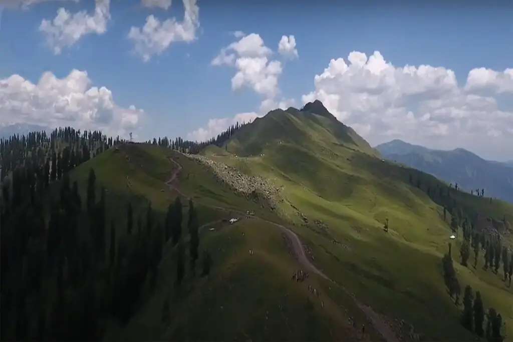
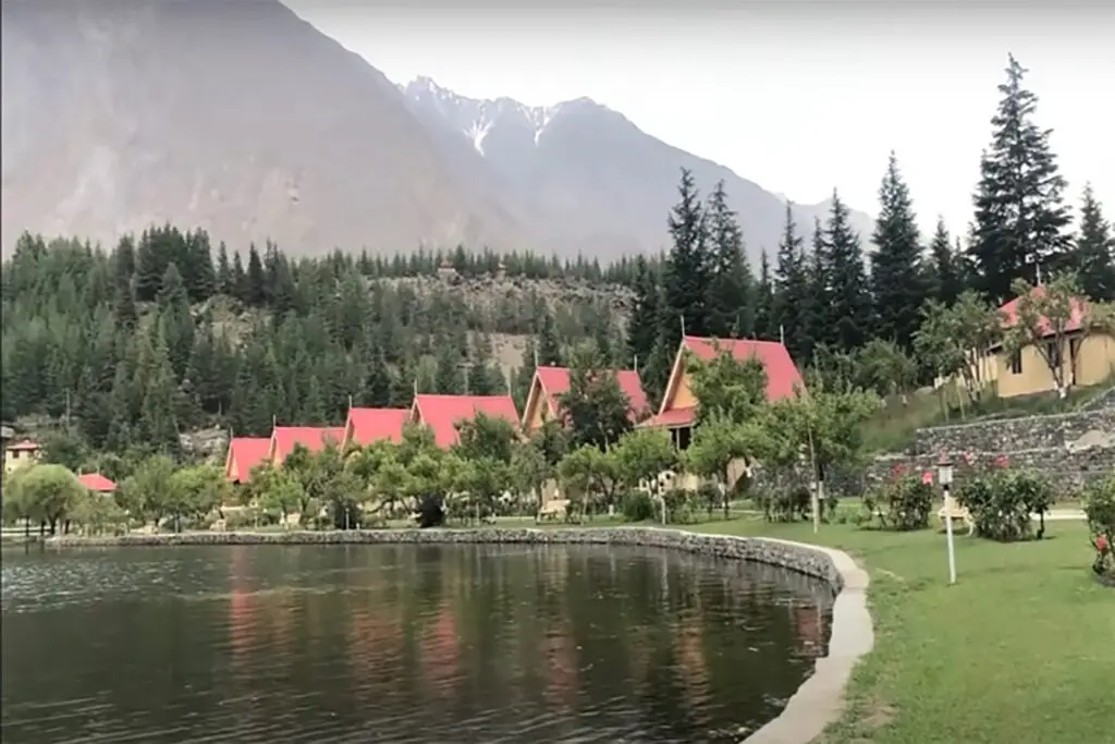
Location of Gul Lasht Eiger Mountain
Gul Lasht Zom is a majestic peak located in the Hindu Kush mountain range in Northern Pakistan. It is also known as Gul Lasht Eiger, named after the famous Eiger Peak in the Swiss Alps. The peak stands at an elevation of 6,379 meters (20,932 feet) and is a popular destination for mountaineers due to its challenging terrain and stunning views. In this article, we’ll explore the history, geography, and climbing routes of Gul Lasht Zom.
History and Geography of Gul Lasht Zom:
Gul Lasht Zom is located in the Hindu Kush mountain range, which stretches from central Afghanistan to Northern Pakistan. The peak was first climbed in 1979 by a Japanese expedition team led by Takayasu Semba. The mountain is located in the Chitral District of Khyber Pakhtunkhwa province in Northern Pakistan and is surrounded by several other significant peaks, including Tirich Mir and Noshaq.
The Magnificence of Gul Lasht Zom:
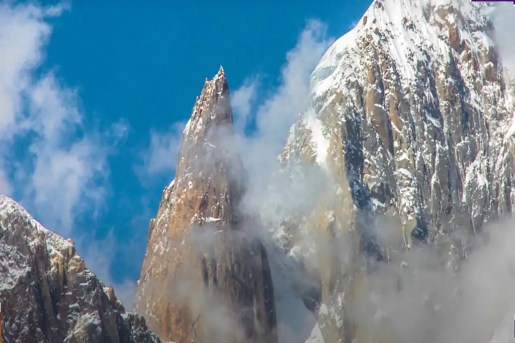
Rising majestically in the Hindu Kush range, Gul Lasht Zom commands attention as one of the region’s most prominent peaks. A mesmerizing blend of steep ridges, rocky faces, and icy cliffs bestows upon this mountain an irresistible charm. Its remote location and pristine wilderness only add to the allure, making it a sought-after destination for mountaineers seeking a true test of their abilities.
Climbing Routes:
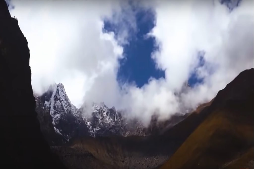
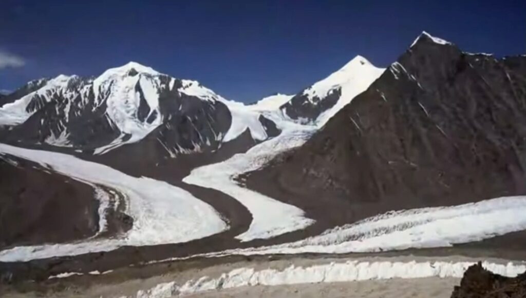
There are several climbing routes to the summit of Gul Lasht Zom. The most popular route is the southeast ridge, which starts from the Chiantar glacier. The route is challenging and requires a high level of technical climbing skills.
The ascent to the summit is gradual, with several steep sections and exposed ridges. The final ascent to the summit is steep and requires the use of fixed ropes. The views from the summit are breathtaking, with stunning panoramic views of the surrounding mountains and glaciers.
Technical Challenges and Climbing Skills:
Gul Lasht Zom poses a range of technical challenges that demand advanced mountaineering expertise. Ascent routes feature steep sections, narrow ridgelines, and exposure to harsh weather conditions. Climbers must skillfully navigate loose rocks, conquer challenging ice and snow conditions, and demonstrate adept route-finding abilities to reach the summit safely. Proficiency in rope handling, rock and ice climbing techniques, and glacier travel are prerequisites for a successful ascent.
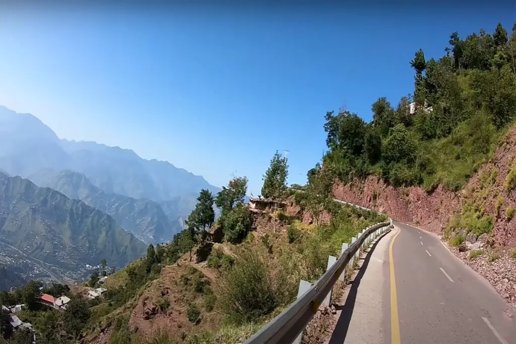
Trekking to Gul Lasht Zom:
Gul Lasht Zom is also a popular trekking destination. The trek to the base camp of Gul Lasht Zom takes you through some of the most beautiful and remote areas of the Hindu Kush range. The trek starts from the village of Mastuj and takes approximately five days to reach the base camp.
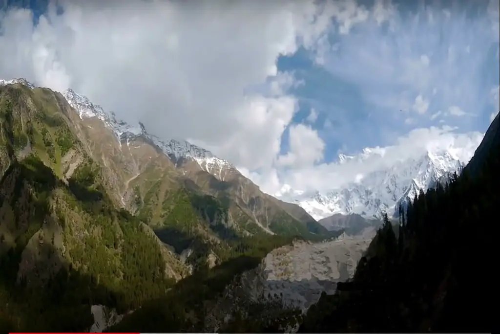
The trek passes through several remote villages, beautiful meadows, and forests, and offers stunning views of the surrounding mountains. The base camp is located at an altitude of 3,900 meters (12,800 feet) and provides stunning views of the Chiantar Glacier
The Rewards of Reaching the Summit:
The ultimate prize for climbers conquering Gul Lasht Zom is the overwhelming sense of accomplishment and breathtaking panoramic views from the summit. Surrounded by the splendor of neighboring mountain ranges, valleys, and distant peaks, climbers are rewarded with a profound connection to nature and a newfound appreciation for their achievements. The solitude and serenity of the high-altitude environment offer a unique perspective that heightens the thrill of the climb.
Embracing Wilderness and Natural Beauty:
Gul Lasht Zom invites climbers to immerse themselves in the untouched wilderness of the Hindu Kush Mountains. Amidst pristine alpine meadows, glistening lakes, and dramatic valleys, adventurers encounter a diverse array of flora and fauna, including rare mountain flowers and elusive wildlife. The remote and unspoiled nature of Gul Lasht Zom fosters an intimate communion with the natural world, offering moments of solitude amidst the captivating scenery.
Safety Considerations and Responsible Climbing:
Climbers must prioritize safety when ascending to Gul Lasht Zom. Physical fitness, proper gear (helmets, harnesses, crampons, and ice axes), knowledge of weather patterns, avalanche awareness, and emergency protocols are essential. Enlisting the assistance of experienced local guides or joining reputable climbing expeditions enhances safety measures and provides invaluable support during the ascent.
Embarking on a Gul Lasht Zom climbing expedition promises an unforgettable journey of perseverance, self-discovery, and triumph. With its imposing presence, technical challenges, and breathtaking natural beauty, this mountain leaves an indelible mark on those who summit it.
Conquering Gul Lasht Zom offers not just an achievement in mountaineering but also an enduring bond with nature’s power and grandeur in the heart of the Himalayas. So, prepare yourself mentally and physically, heed safety precautions, and embark on an extraordinary climbing adventure that will transform your perspective on exploration and leave you with cherished memories for a lifetime. Happy climbing!