Ghamubar Zom is a beautiful and challenging peak located in the Hindu Raj range of Northern Pakistan. It offers mountaineers and trekkers a unique opportunity to explore the remote and beautiful areas of the region. Whether you choose to climb to the summit or trek to the base camp, Ghamubar Zom is sure to leave you with unforgettable memories of the stunning landscapes and friendly local people.
Location of Ghamubar Zom
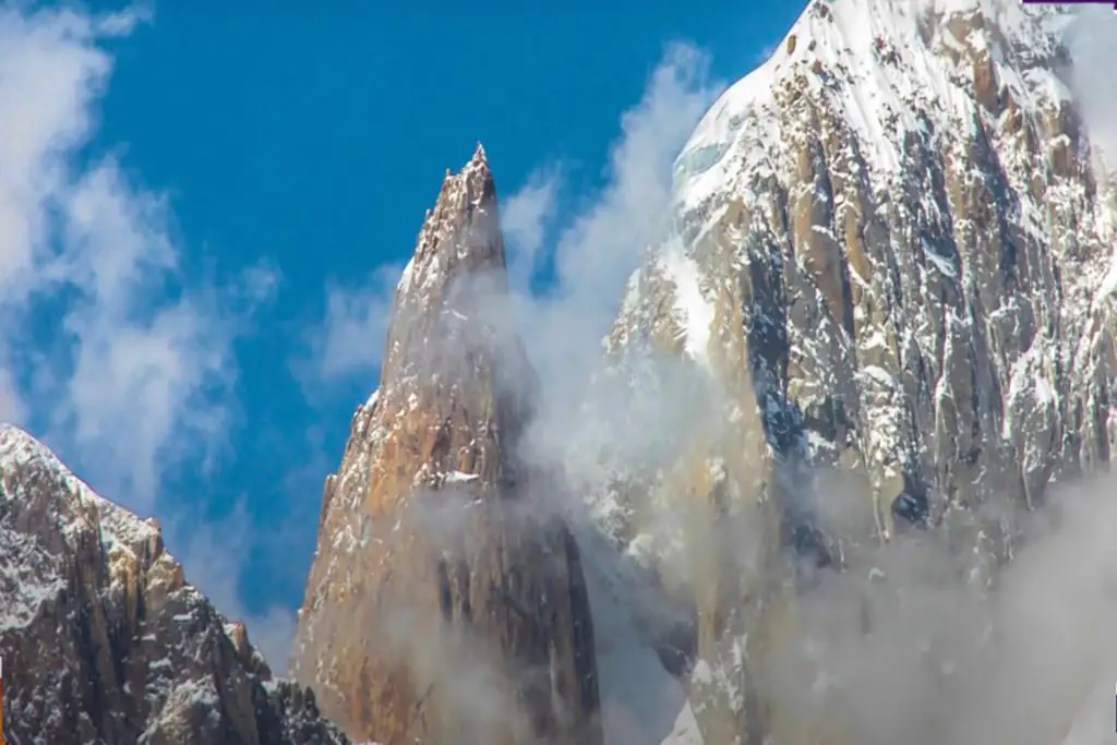
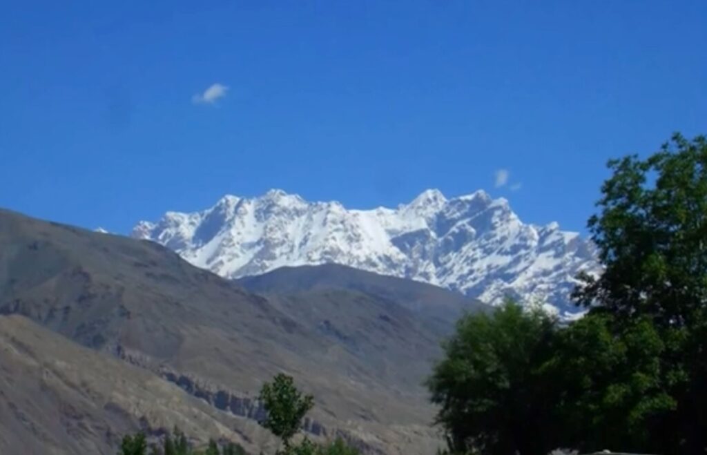
Ghamubar Zom is a stunning peak located in the Hindu Raj mountain range in Northern Pakistan. The peak is also known as Ghambubar Bala and is one of the highest peaks in the Hindu Raj range, standing at an elevation of 6,834 meters (22,411 feet). In this article, we’ll explore the history, geography, and climbing routes of Ghamubar Zom.
History and Geography of Ghamubar:
Ghamubar is located in the Hindu Raj mountain range, which stretches from Northern Pakistan to Central Afghanistan. The mountain was first climbed in 1963 by a Japanese expedition team led by Yoshimi Yakushi. The peak is located in the Ishkoman Valley of Gilgit-Baltistan and is surrounded by several other significant peaks, including Yazghil Sar and Muchu Chhish.
Climbing Routes:
There are several climbing routes to the summit of Ghamubar. The most popular route is the southwest ridge, which starts from the Ishkoman Valley. The route is challenging and requires a high level of technical climbing skills.
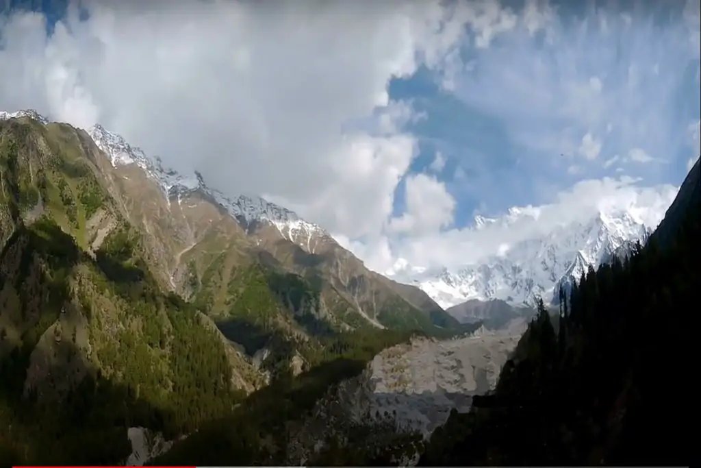
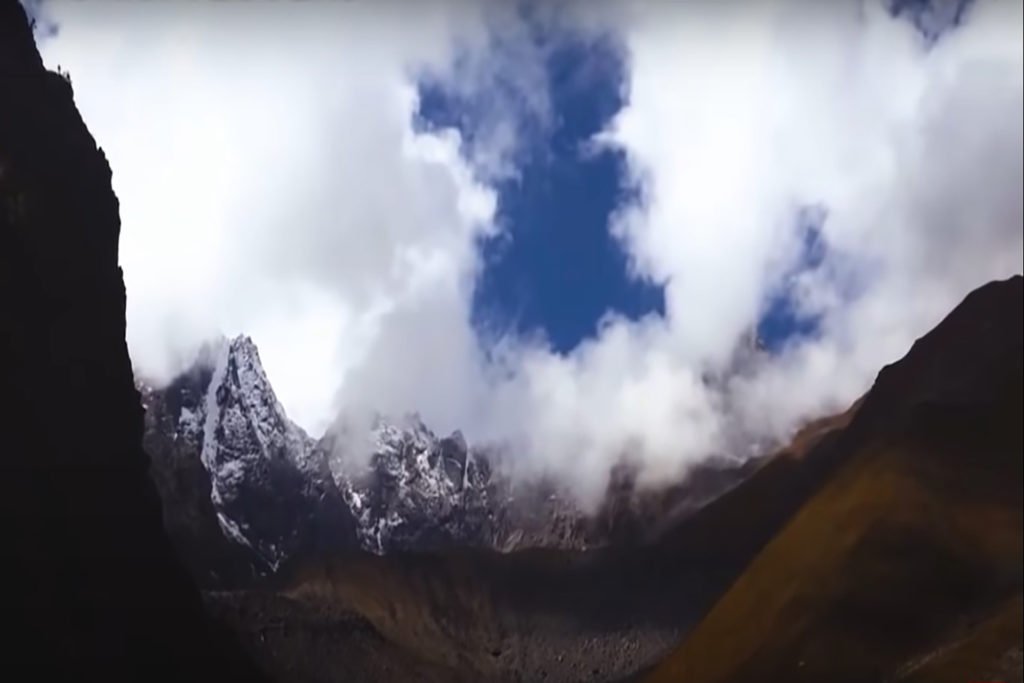
The ascent to the summit is gradual, with several steep sections and exposed ridges. The final ascent to the summit is steep and requires the use of fixed ropes. The views from the summit are breathtaking, with stunning panoramic views of the surrounding mountains and glaciers.
Trekking to Ghamubar Peak:
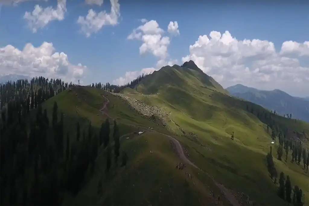
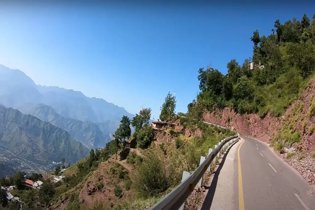
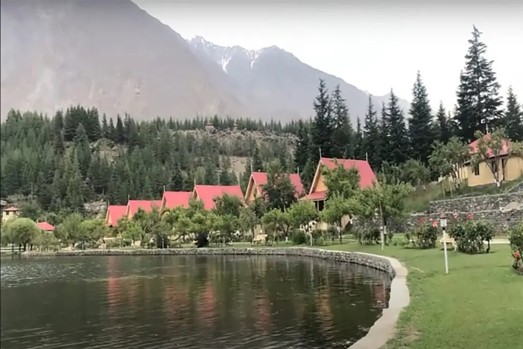
Ghamubar Zom is also a popular trekking destination. The trek to the base camp of Ghamubar Peak takes you through some of the most beautiful and remote areas of the Hindu Raj range. The trek starts from the village of Chatorkhand and takes approximately five days to reach the base camp.
The trek passes through several remote villages, beautiful meadows, and forests, and offers stunning views of the surrounding mountains. The base camp is located at an altitude of 3,900 meters (12,800 feet) and provides stunning views of the Glacier.