The Rupal Valley Glacier or Tashain Glacier is a glacier in the foothills of the Himalayas. It begins north of an unnamed 6,326-metre (20,755 ft) peak and flows northeast, north of Laila Peak (Rupal Valley) and south of Nanga Parbat.
Nanga Parbat or The Killer Mountain The Naked Mountain or The Sleeping Beauty of the Western Himalayan Range has three gigantic faces.
- Raikot East Face
- Diamer West Face Route
- and Rupal South Face
Rupal Peak is a mountain in the Western Himalayas of Pakistan. The peak is located south of Nanga Parbat in the Rupal Valley and is sometimes climbed by climbers as they acclimatize to the higher local peaks. Despite its unique beauty, steep north face, and impressive height, Rupal is greatly overshadowed by Nanga Parbat, Mazen Wall, and the mighty Rupal Face. To its west lies Laila Peak and Shaigiri, and to its north flows the Rupal Glacier, which later forms the Rupal River.
Location of Rupal Valley
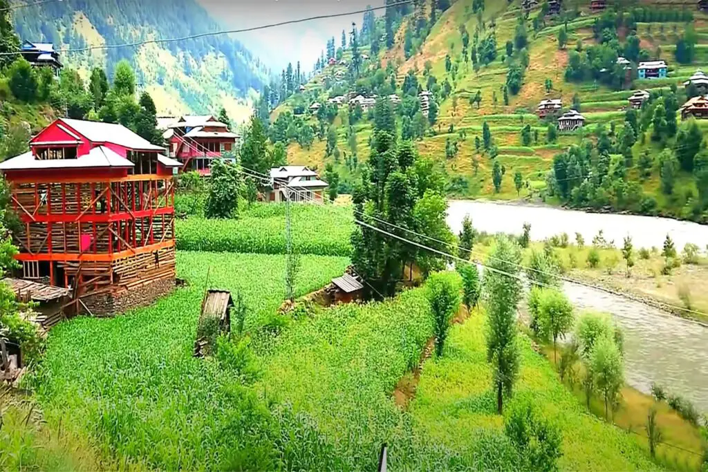
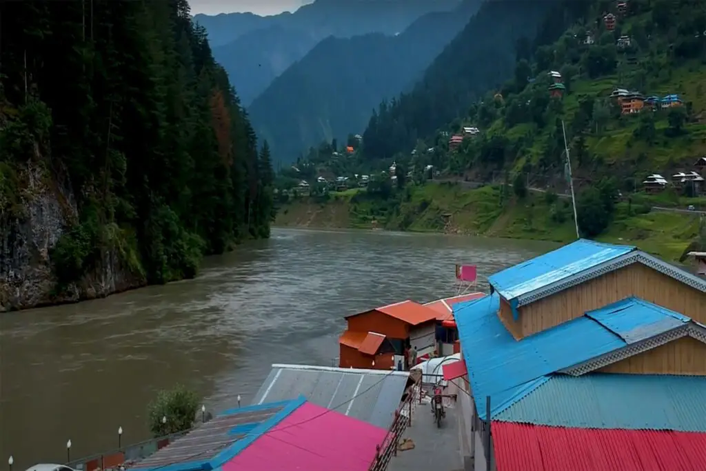
A beautiful valley overlooking the southern side of Nanga Parbat is located in the Astore district of the Gilgit-Baltistan region. You can walk through Rupal village to the Rupal Face of Nanga Parbat Base Camp, the best place to visit to capture the majestic beauty of Rupal. The best time to visit the valley is in summer, from May to October.
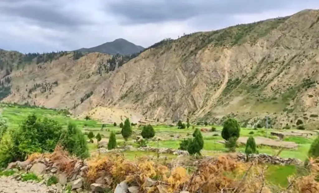
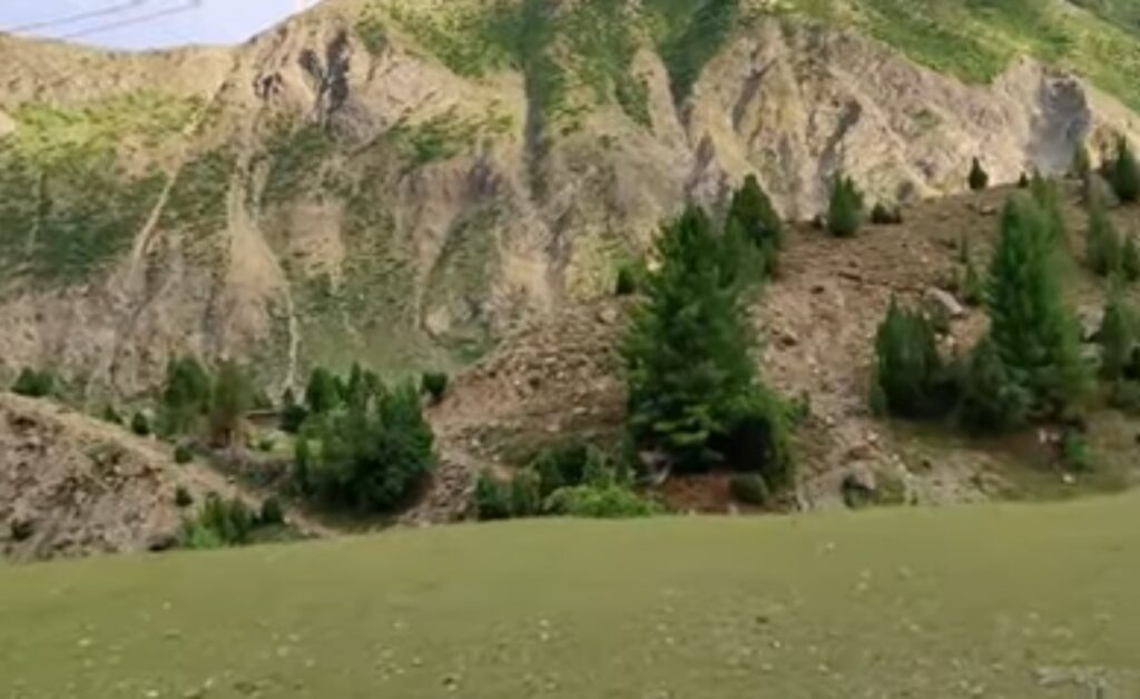
With a landscape lined with towering peaks, barley, wheat, potato fields, juniper, poplar, and willow groves, Rupal is among the three most stunning valleys in beautiful northern Pakistan. It is a large settlement in Gilgit-Baltistan with lower and upper villages. The slopes of the Rupal Valley are covered with forget-me-nots, lavender, and protea.
Access to Rupal Valley
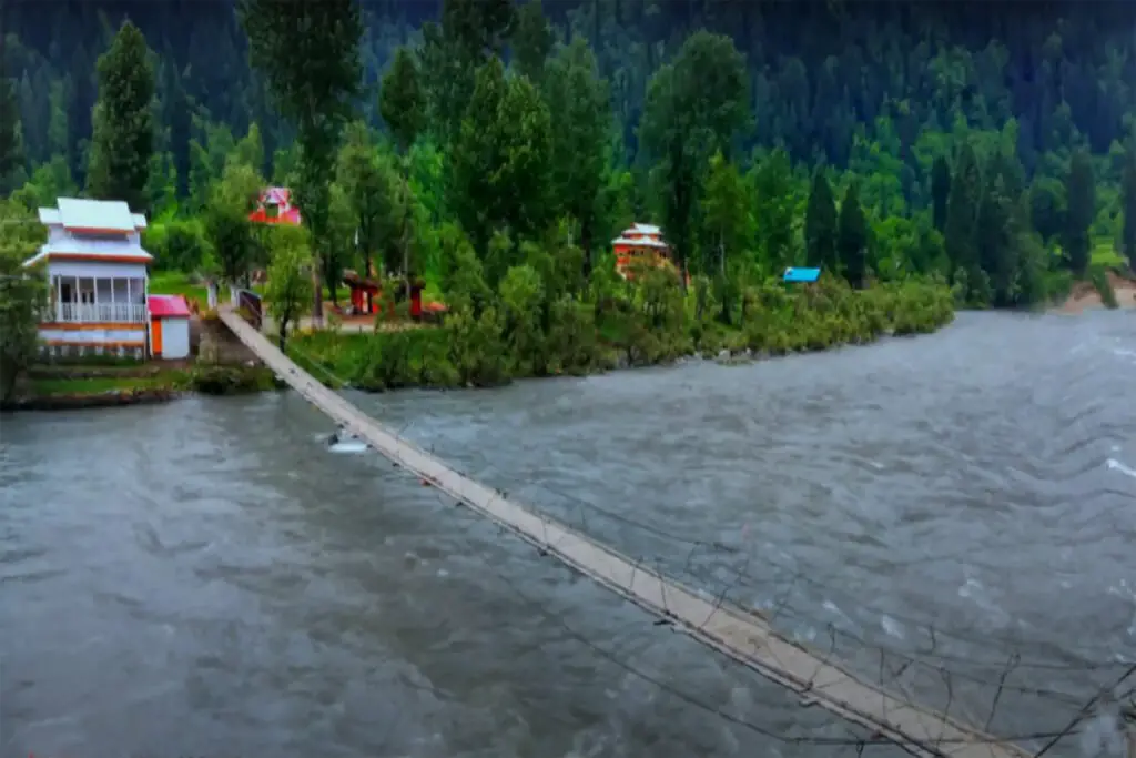
The Rupal Valley is accessed via the Astore Valley, the route diverges from the Karakoram Highway at Jaglot, 60 km south of Gilgit. The valley is also accessible from Skardu by Astore road and the distance is 160 km which means 6 hours drive. Tarashing village is the gateway to Rupal valley and it takes about 2.5 hours to reach Rupal village from Tarashing. You can also take a side trip to the Rama Valley to explore the Rama Meadows and Rama Lake.
Route to Rupal Peak
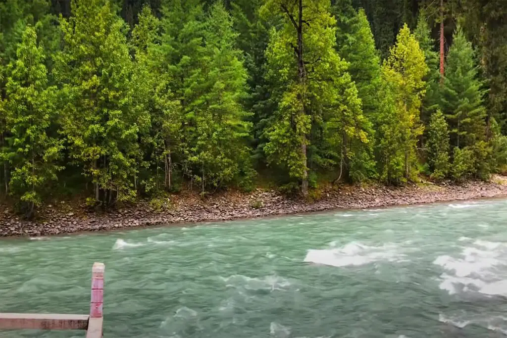
The trek starts from Tarashing village to Rupal Valley and Rupal Glacier, also known as “Tarashing Glacier” and “Chhungphar” on some maps. The Tarashing Glacier lies in the foothills of the Himalayas. The glacier extends from the north from the 6,326-meter high peak and flows northeast, south of the Laila peak in the Rupal valley. Melting snow from the glacier forms the Rupal River.
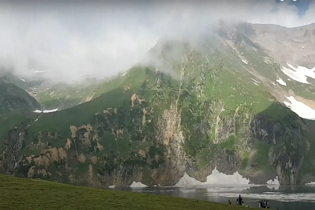
As you set off from Rupal village, after about two hours of travel through narrow green lanes, and poplar and willow forests, you will pass a small lake to reach the 3650m high Bazhin camp. It is a flat green meadow stretching between the moraine of the Bazhin Glacier and the mountain with the towering ice wall of the east face of Nanga Parbat.
The campsite is Herrligkoffer Base Camp, a beautiful meadow with a large spring bubbling with crystal clear water and birds chirping in the woods. This campsite on the north side of the valley is named after Dr. Karl M. Herrligkoffer, leader of the first successful expedition to Nanga Parbat in 1953 and seven other expeditions.
It takes 1½ hours to reach the Latobah or Tupp meadows at an altitude of 3,530 meters over the Bazhin Glacier by footpath.
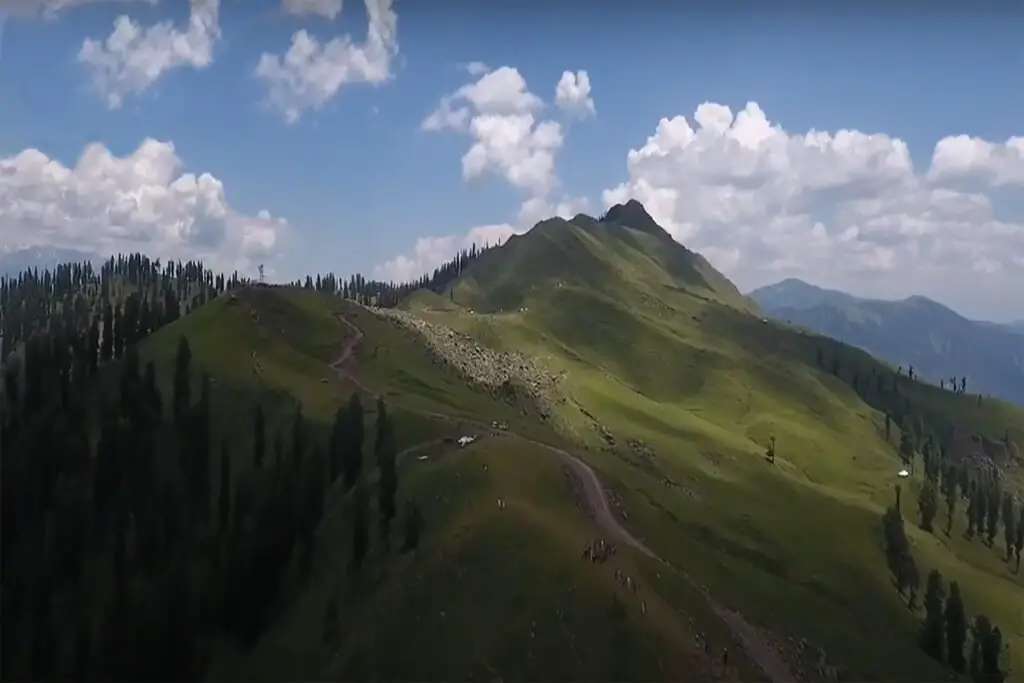
The trail stays north of Rupal Gah, avoiding the final glacial ground and the glacial lake in the muddy ground. If you follow the trail through some muddy glacial landscape, you will come across Shaigiri at an altitude of 3655 meters. Shaigiri, meaning “white boulder” in Shina, is a summer suburb with an irregular boulder. The trek ends here and offers a more exceptional view of Killer Mountain where it rises vertically about 4.6 km above Rupal as a straight face of ice.
People of Rupal
Rupal Valley has two parts, lower Rupal and upper Rupal. The people of the lower Rupal valley are from Baltistan and their language is a combination of Balti and Shina. The women here wear a Balti headdress decorated with silver beads and buttons and a brown band tail hanging down the back.
The people of upper Rupal are called Gujars and the women here wear round hats covered with a veil. The settlement has two villages where the houses are closely packed and half underground, with round hollow granaries nearby. In summer, people move further into the valley with their herds to graze on the summer pastures, while in winter people stay in their houses and use stored food.